


Ausgangspunkt ist das Hotel Stockerwirt in Reith. Der Weg führte aus Reith heraus Richtung Alpsteg. Von hier aus Richtung Außerhauseralm auf einem Waldweg Richtung Außerhauser Alm und weiter zum Holzalmhaus.(Idealer Rastplatz-bewirtschaftet).
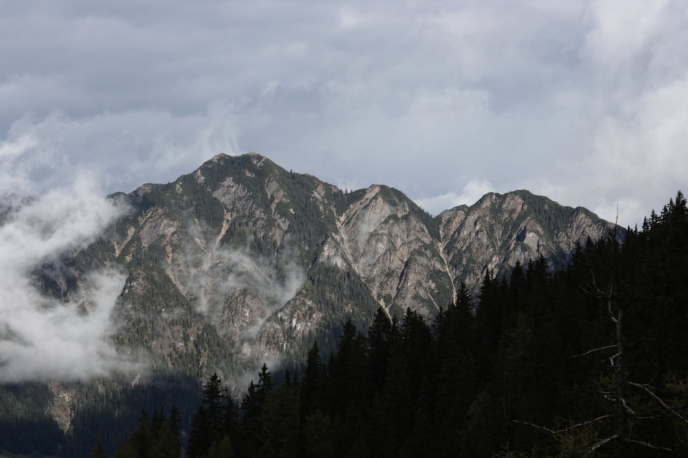
Aufgrund der Wetterlage(Schneefall) haben wir den Aufstieg zur Gratlspitz nicht vorgenommen.
Weiter Richtung Alpbachtal zum Hösljoch.
Von hier zur Zottaalm und dann weiter nach Alpbach.
Von hier über den Zugang zum Kolberhof weiter Richtung Hygna und dann zurück zum Ausgangspunkt.
Bei gutem Wetter mit Sicherheit eine Tour mit einem größeren Spaßfaktor als 2. Auch wird dann der Aufstieg zur Gratlspitz mit einem sehr schönen Blick auf das Alpbachtal belohnt werden.
galéria trás
Mapa trasy a výškový profil
Minimum height 616 m
Maximum height 1519 m
More about the tour author
|
|
1897linden |
komentáre

Parkplatz im Zentrum Reith
GPS trasy
Trackpoints-
GPX / Garmin Map Source (gpx) download
-
TCX / Garmin Training Center® (tcx) download
-
CRS / Garmin Training Center® (crs) download
-
Google Earth (kml) download
-
G7ToWin (g7t) download
-
TTQV (trk) download
-
Overlay (ovl) download
-
Fugawi (txt) download
-
Kompass (DAV) Track (tk) download
-
list trasy (pdf) download
-
Original file of the author (gpx) download
More about the tour author
|
|
1897linden |
Add to my favorites
Remove from my favorites
Edit tags
Open track
My score
Rate