
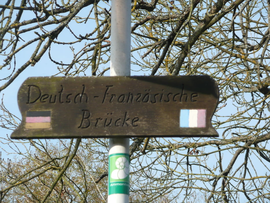

Wir starten in Hemmersdorf an der Wackenmühle und dort endet auch die Wanderung wieder.
Druidenpfad
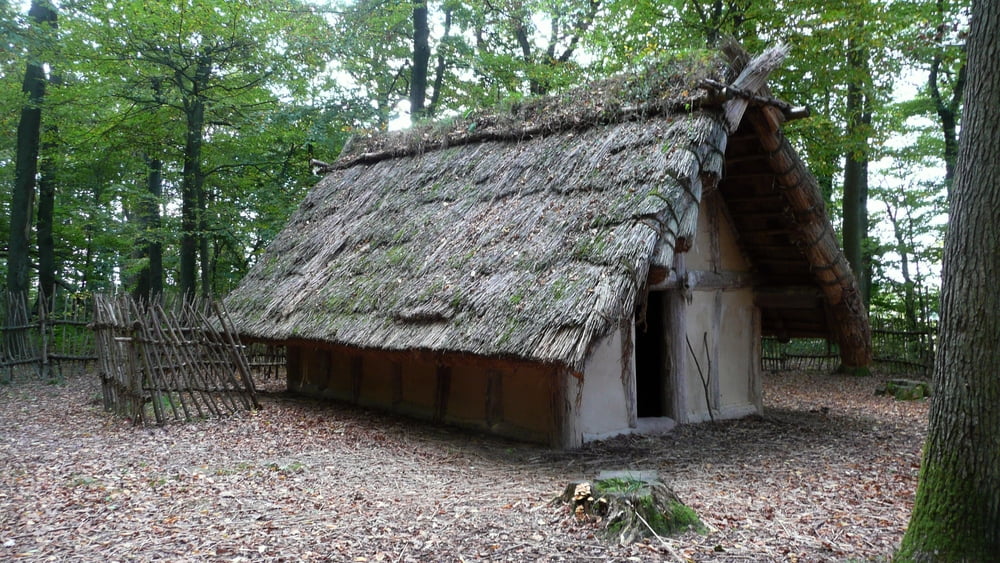
 Bereits vor mehr als 2000 Jahren hatten die Kelten das Niedtal besiedelt. Sie lebten dort, wo sie die Güter fanden, die ihnen für ihr einfaches Leben wichtig waren: Wasser, Nahrung aus Wald und Fluss sowie Baumaterialien, wie Holz, Schilf und Lehm.
Die Voraussetzungen waren im Wald bei Niedaltdorf optimal gegeben. Keltische Gräber belegen hier unzweifelhaft die Existenz einer keltischen Siedlung. Die Rekonstruktionen zweier Keltenhäuser und eines Hügelgrabes veranschaulichen die Epoche in unserer Siedlungsgeschichte.
Der Druidenpfad zeigt uns als Erlebnispfad u. a. welche Bedeutung der Wald in der Entwicklungs-, Zivilisations- und Kulturgeschichte die Kelten und ihrer Nachfahren hatte und wie sich die damalige Nutzung auf unser Leben heute auswirkt.
Mythos und Mystik sind dabei wichtige Bestandteile, wie der Galgenbaum und der Gerichtsbaum belegen.
Das Material Holz als ursprüngliches Baumaterial, ebenso wie die historische Verwertung (Sie sehen einen Schaumeiler), aber auch die heutige Bedeutung des Holzes bilden die Eckpunkte auf dem spannenden Pfad der Druiden.
galéria trás


Mapa trasy a výškový profil
Minimum height 178 m
Maximum height 275 m
More about the tour author
|
|
Biker-Tommy |
komentáre

GPS trasy
Trackpoints-
GPX / Garmin Map Source (gpx) download
-
TCX / Garmin Training Center® (tcx) download
-
CRS / Garmin Training Center® (crs) download
-
Google Earth (kml) download
-
G7ToWin (g7t) download
-
TTQV (trk) download
-
Overlay (ovl) download
-
Fugawi (txt) download
-
Kompass (DAV) Track (tk) download
-
list trasy (pdf) download
-
Original file of the author (gpx) download
More about the tour author
|
|
Biker-Tommy |
Add to my favorites
Remove from my favorites
Edit tags
Open track
My score
Rate