


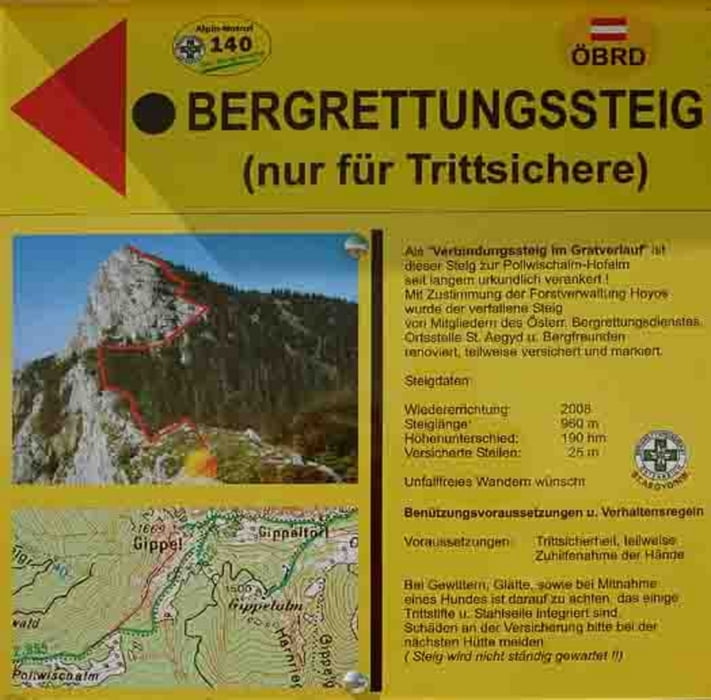
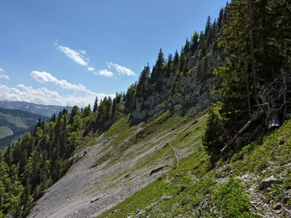
Der Ausgangspunkt ist beim Gehöft Zögernitz. Erst geht es auf dem Forstweg bis der Wanderweg zum Preinecksattel abzweigt. Ab dem Preinecksattel geht es über einen Rücken zum Schwarzauer Gippel. Weiter über die Gippelmauer bis zum Gippeltörl dann hinauf zum Gipfel 1669m. Vom Gipfel über den Bergrettungssteig teilweise Versichert hinab zur Pollwischalm. Hier erreichen wir den Majewskysteig der zurück zum Gippeltörl führt. Danach über den Treibsteig hinab zum Ausgangspunkt
galéria trás

Mapa trasy a výškový profil
Minimum height 683 m
Maximum height 1671 m
More about the tour author
|
|
piloupe |
komentáre

St. Pölten, Lielienfeld, Wegscheid, St. Aegyd, Weißenbachgraben, Gehöft Zögernitz
GPS trasy
Trackpoints-
GPX / Garmin Map Source (gpx) download
-
TCX / Garmin Training Center® (tcx) download
-
CRS / Garmin Training Center® (crs) download
-
Google Earth (kml) download
-
G7ToWin (g7t) download
-
TTQV (trk) download
-
Overlay (ovl) download
-
Fugawi (txt) download
-
Kompass (DAV) Track (tk) download
-
list trasy (pdf) download
-
Original file of the author (gpx) download
More about the tour author
|
|
piloupe |
Add to my favorites
Remove from my favorites
Edit tags
Open track
My score
Rate