


Tourstart Bf Hoffnungsthal
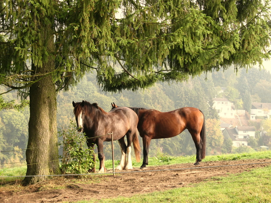
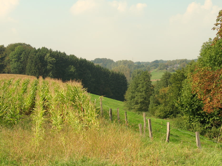
Über Feld, Wald und Wiesen nach Honrath. Typisch Bergisches Land, Wälder und landwirtschaftliche genutzte Flächen wechseln sich ab. Ständig wechselnde Ausblicke, kleine Ortschaften und der Einblick in "Das Leben auf dem Land" sind der Charme der Tour.
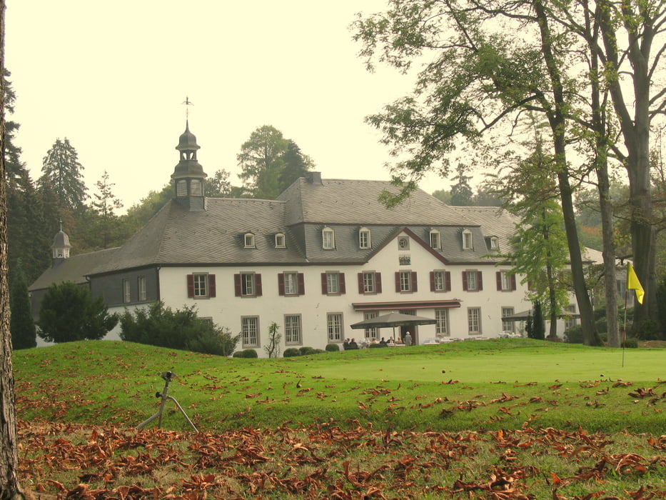
Die folgende Durchquerung der Golfplatzanlage rund um Schloss Auel ist nicht uninteressant, im Vergleich zum Rest des Weges aber eher ein "Kontrastprogramm".
Es folgt die Ortschaft Wahlscheid (zu Lohmar). Ein gemütliches Örtchen, Tourhalbzeit, es gibt 3 schöne Einkehrmöglichkeiten. PROST!
Weiter geht´s über Oberscheid und idyllische Feldrandwege zur Kupfersiefermühle.Dort kann man einkehren, wenn man Sonntags und in den Sommermonaten unterwegs ist.
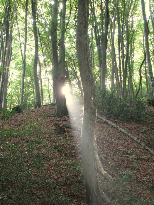
Ein "Highligth" ist der nun weiterführene Weg durch das Kupfersiefertal bis und durch die Ortschaft Menzlingen. Auch der weiterführende Weg entlang der Sülz bis Rösrath ist einfach nur SCHÖN!
Rösrath selbst ist... Hmmm... Na ja, also bis zum Bahnhof ist es jetzt nicht mehr weit!
Tourende ist der Bahnhof in Rösrath.
galéria trás
Mapa trasy a výškový profil
Minimum height 72 m
Maximum height 214 m
More about the tour author
|
|
Michy |
komentáre

An- und Abfahrt dieser Wandertour lassen sich bequem mit der Regionalbahn BR 25
-verkehrt von Köln nach Marienheide
erreichen!
ZIEL: Bf Hoffnungsthal
ABFAHRT: Bf Rösrath
GPS trasy
Trackpoints-
GPX / Garmin Map Source (gpx) download
-
TCX / Garmin Training Center® (tcx) download
-
CRS / Garmin Training Center® (crs) download
-
Google Earth (kml) download
-
G7ToWin (g7t) download
-
TTQV (trk) download
-
Overlay (ovl) download
-
Fugawi (txt) download
-
Kompass (DAV) Track (tk) download
-
list trasy (pdf) download
-
Original file of the author (gpx) download
More about the tour author
|
|
Michy |
Add to my favorites
Remove from my favorites
Edit tags
Open track
My score
Rate