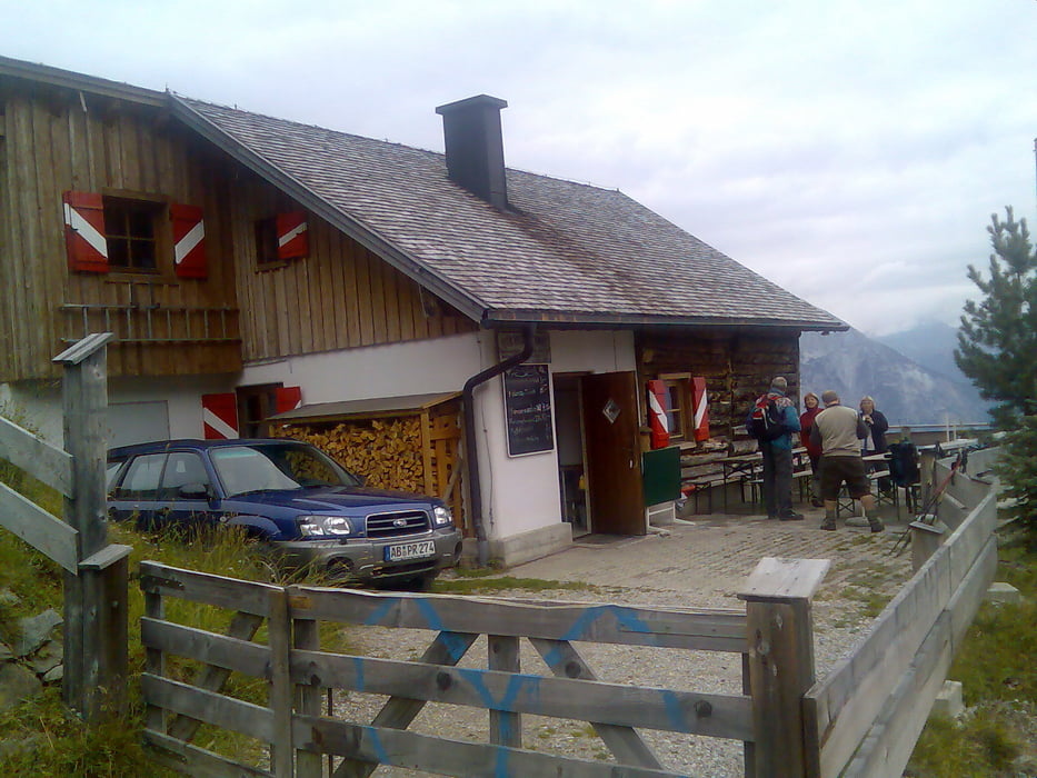
Bis zu ca 1500 Meter angenehm zu fahren aber dannnn... 20 bis kurzeitig 30% Steigung und der Weg ist recht ausgewaschen
galéria trás
Mapa trasy a výškový profil
Minimum height 770 m
Maximum height 1892 m
komentáre
Innsbruck-Telfs Rietz
GPS trasy
Trackpoints-
GPX / Garmin Map Source (gpx) download
-
TCX / Garmin Training Center® (tcx) download
-
CRS / Garmin Training Center® (crs) download
-
Google Earth (kml) download
-
G7ToWin (g7t) download
-
TTQV (trk) download
-
Overlay (ovl) download
-
Fugawi (txt) download
-
Kompass (DAV) Track (tk) download
-
list trasy (pdf) download
-
Original file of the author (gpx) download
Add to my favorites
Remove from my favorites
Edit tags
Open track
My score
Rate


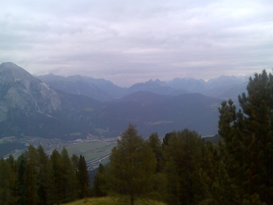
aber: eine der besten aussichten di eine hütte in tirol überhaupt bietet.
der downhill kann sich auch äusserst reizvoll und selektiv gestalten, wenn man den alten weg nimmt.
Biker auf der Peter Anichhütte
Besonders für jene die auf die (unnötige?) Frage: "Und, bisch durchtretn?" völlig glaubwürdig, weil ohne Pressatem, cool antworteten : "Jaaa!"
Also weiter ran an die schnell verfügbaren Kohlenhydrate
Robert