


12. April 2009
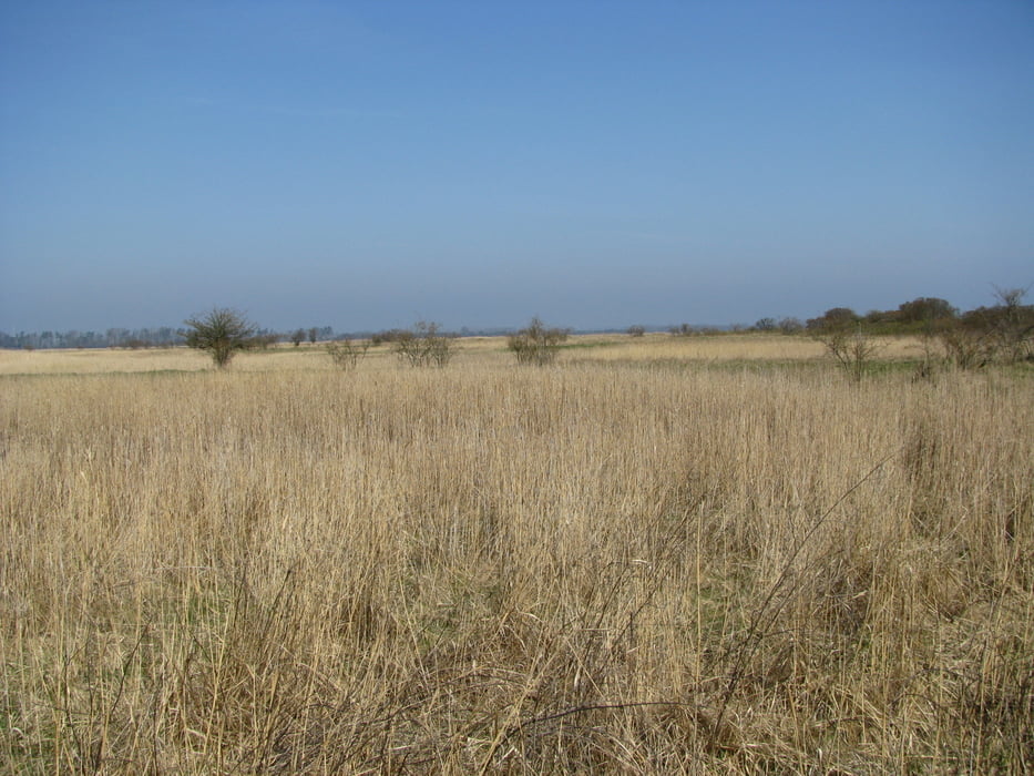
Von Zicker aus nähern wir uns Richtung Norden wandernd langsam dem Meer. Bald endet der Plattenweg und auf teils sandigen, teil grasbewachsenen Weg erreichen wir das NSG "Schoritzer Wiek", einem wichtigen Brutplatz für Vögel. Der Weg führt immer etwas Abseits des Strandes teilweise durch Wald hindurch bis zum Badestrand am "Greifswalder Bodden".
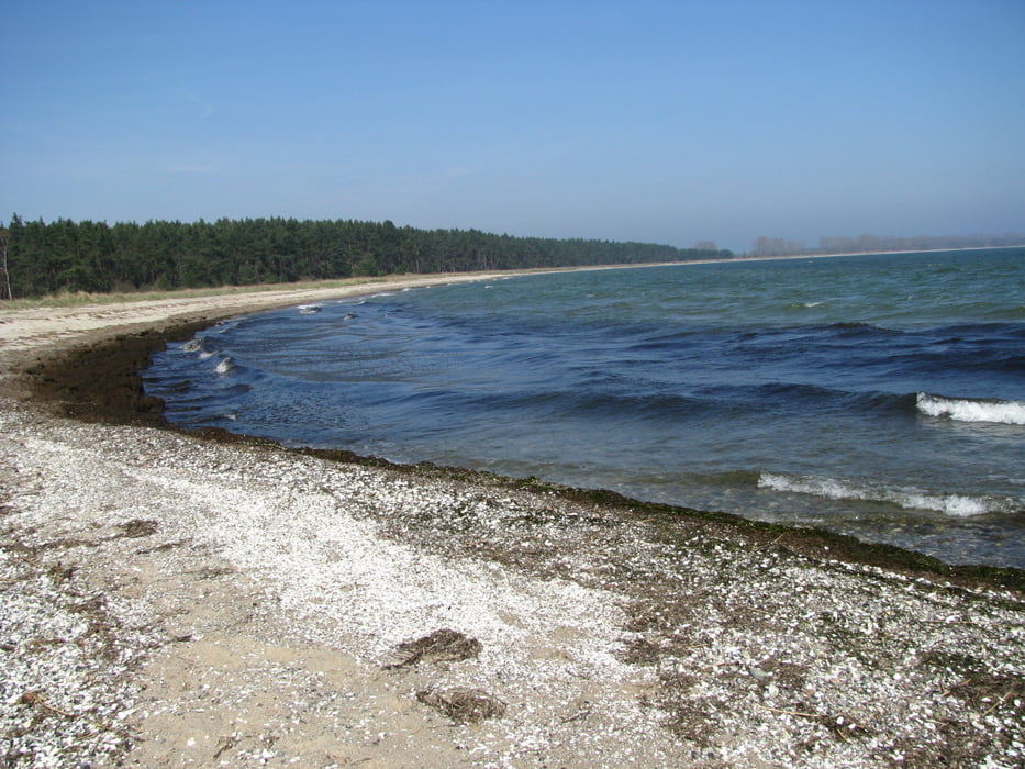
Von nun an folgen wir schönstem Sand- und Badestrand bis zum "Palmer Ort", dem südlichsten Punkt Rügens. Der Wind ist etwas zu heftig zum Rasten und so wandern wir durch einen Wald zurück bis Grabow, wo wir eine Pause einlegen. Dort folgen wir einer kleinen Strasse, die uns mehr oder weniger schnurgerade zum Ausgangspunkt zurückbringt.
galéria trás


Mapa trasy a výškový profil
Minimum height -9 m
Maximum height 13 m
More about the tour author

|
komentáre

Grösserer Parkplatz in Zicker
GPS trasy
Trackpoints-
GPX / Garmin Map Source (gpx) download
-
TCX / Garmin Training Center® (tcx) download
-
CRS / Garmin Training Center® (crs) download
-
Google Earth (kml) download
-
G7ToWin (g7t) download
-
TTQV (trk) download
-
Overlay (ovl) download
-
Fugawi (txt) download
-
Kompass (DAV) Track (tk) download
-
list trasy (pdf) download
-
Original file of the author (gpx) download
More about the tour author
|
|
Add to my favorites
Remove from my favorites
Edit tags
Open track
My score
Rate