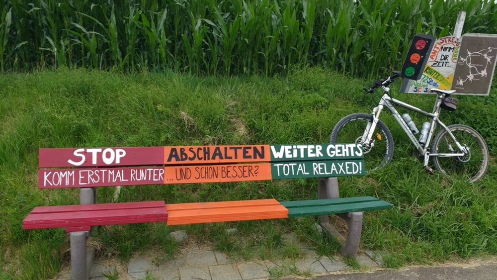
Eine sehr abwechslungsreiche Waldwanderung. Wir benötigen gutes Schuhwerk, da die Wege durch den getauten Schnee sehr schlüpfrig sind.
Dauer 90 Minuten
Temperatur ca. 5°C - keine Sonne - kein Niederschlag
Der Track ist fehlerkorrigiert!
135-14-21072018
Further information at
http://www.schenie.deMapa trasy a výškový profil
Minimum height 529 m
Maximum height 603 m
komentáre

Aus meinem Tagebuch:
Sehenswert:
Einkehrmöglichkeit:
Schlußworte:
GPS: Garmin Etrex Vista HCX
135-14-21072018
GPS trasy
Trackpoints-
GPX / Garmin Map Source (gpx) download
-
TCX / Garmin Training Center® (tcx) download
-
CRS / Garmin Training Center® (crs) download
-
Google Earth (kml) download
-
G7ToWin (g7t) download
-
TTQV (trk) download
-
Overlay (ovl) download
-
Fugawi (txt) download
-
Kompass (DAV) Track (tk) download
-
list trasy (pdf) download
-
Original file of the author (gpx) download
Add to my favorites
Remove from my favorites
Edit tags
Open track
My score
Rate

