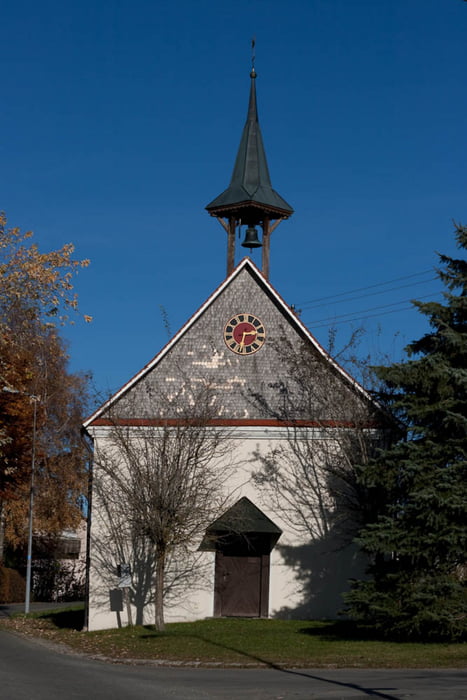
Schöne Runde beginnent vom Schloss Zeil mit seiner Aussenanlage, am Brunnentobel vorbei zu Wachbühl.
Der Wachbühl war die höchste Erhebung im ehemaligen Oberamt Leutkirch und ist die höchste Erhebung des Zeiler Rückens. Der Aussichtspunkt gewährt an klaren Tagen einen Überblick über die gesamte Alpenkette, Allgäuer Vorland und Oberschwaben. Nach Norden hat man eine gute Übersicht auf die stark bewaldete Marstetter Schotterebene, Donautal und schwäbische Alb.
Auf dem Rückweg vorbei durch Starkenhofen.
galéria trás
Mapa trasy a výškový profil
Minimum height 683 m
Maximum height 795 m
komentáre

GPS trasy
Trackpoints-
GPX / Garmin Map Source (gpx) download
-
TCX / Garmin Training Center® (tcx) download
-
CRS / Garmin Training Center® (crs) download
-
Google Earth (kml) download
-
G7ToWin (g7t) download
-
TTQV (trk) download
-
Overlay (ovl) download
-
Fugawi (txt) download
-
Kompass (DAV) Track (tk) download
-
list trasy (pdf) download
-
Original file of the author (gpx) download
Add to my favorites
Remove from my favorites
Edit tags
Open track
My score
Rate


