Login

Zabudli ste prihlasovacia meno

Cookies have to be accepted!
Your browser's cookie functionality is disabled. Please enable this functionality.

Not a member yet?

Register now
Login

Available for registred users only

Log in to use this feature.

Zabudli ste prihlasovacia meno

Cookies have to be accepted!
Your browser's cookie functionality is disabled. Please enable this functionality.

Not a member yet?

Register now
Filter
Kategórie
Advanced filters
  • Dĺžka (km)
  • výškomer
Uložiť filter Reset filter

TrackRank

QRCode

Technical data

Dĺžka7,1 km výškomer775 m Way down418 m Doba02:00 h:m dátum11.01.2010
ohodnotenia Author Kraj pôžitok z túry kondícia technika

štatistika

703 náhľady 1 ohodnotenie 35 Stiahnutia 5.00 priemer
Rate
  • list trasy
  • príjazd
  • Stiahnutia

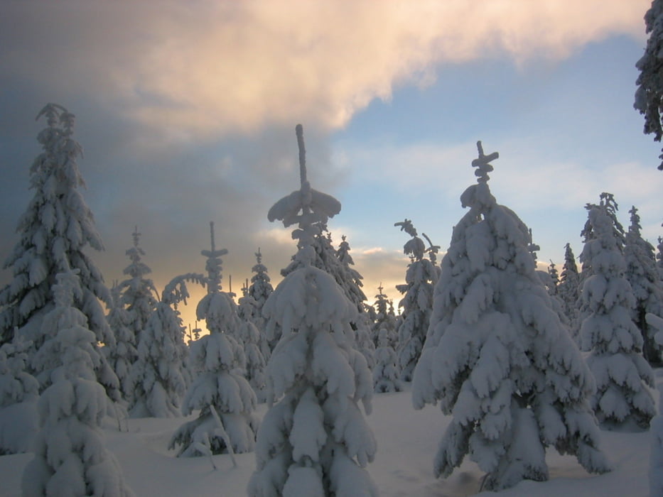
Diese Tour war eine Nachtwanderung, deshalb ist sie kurz und einfach zu laufen.

Das Täfelein ist ein Wanderparkplatz, von dort führt der Weg kurz über einen geplätteten Winterwanderweg und zweigt dann in den Tiefschnee ab. Er kreuzt kurz den oberen Ring (vorsicht Loipe) und das letzte Stück ist der M-Weg unterhalb des Gipfels. Einkehr am Asenturm möglich.

Viel Spass und Schnee.

Mapa trasy a výškový profil

  • Open Street Map
  • Google
Minimum height 409 m Maximum height 1024 m Detailný pohľad

More about the tour author

berndhuber
Member since 2008

Send private message

komentáre

GPS trasy

Trackpoints
  • GPX / Garmin Map Source (gpx) download
  • TCX / Garmin Training Center® (tcx) download
  • CRS / Garmin Training Center® (crs) download
  • Google Earth (kml) download
  • G7ToWin (g7t) download
  • TTQV (trk) download
  • Overlay (ovl) download
  • Fugawi (txt) download
  • Kompass (DAV) Track (tk) download
  • list trasy (pdf) download
  • Original file of the author (gpx) download

More about the tour author

berndhuber
Member since 2008

Send private message
Share track
Add to my favorites
Remove from my favorites
Edit tags
My score
Rate
trasa: Täfelein>Ochsenkopf
Druh: snežnice
Dĺžka: 7,1 km
Evaluated on:
Doba:
Day(s)
Hour(s)
Minute(s)
ohodnotenie: Kraj pôžitok z túry kondícia technika