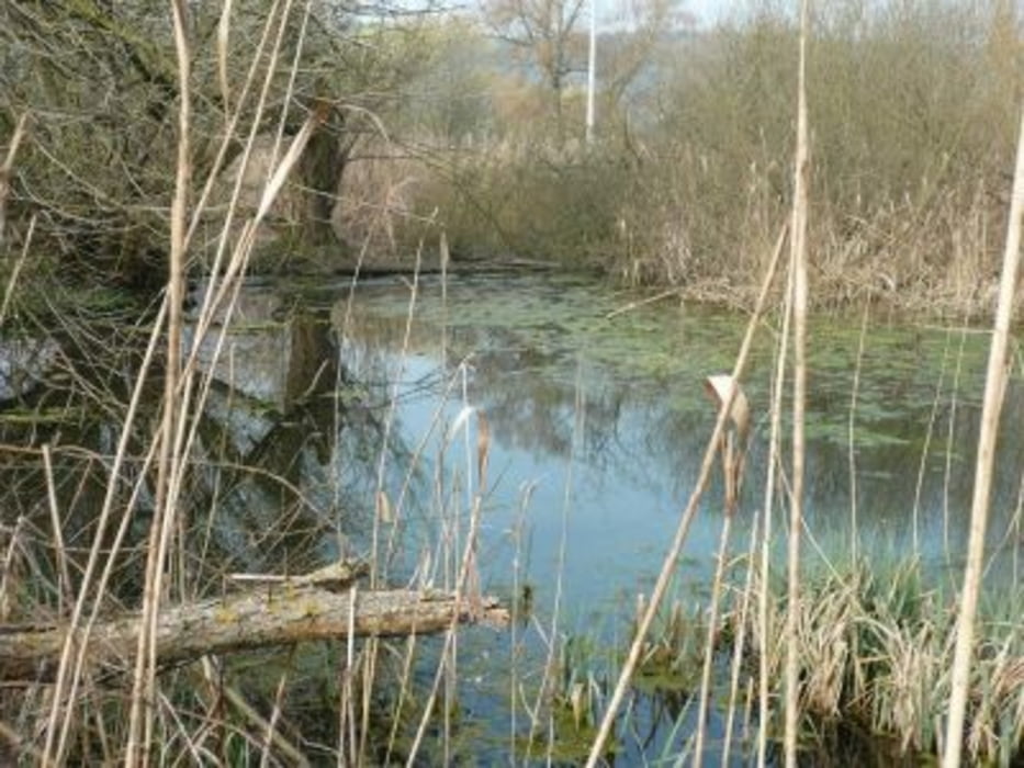
Leichte Jogging- oder Nordic-Walking-Strecke durch das Ried und über die Heidehöfe.
Es handelt sich um eine schöne und abwechlungsreiche Runde entlang der Würm und über die Knappshalde zurück zum Ausgangspunkt.
Parken kann man am Sportplatz/Festhalle von Merklingen.
galéria trás
Mapa trasy a výškový profil
Minimum height 389 m
Maximum height 434 m
komentáre

Pakplatz bei der Festhalle Merklingen
GPS trasy
Trackpoints-
GPX / Garmin Map Source (gpx) download
-
TCX / Garmin Training Center® (tcx) download
-
CRS / Garmin Training Center® (crs) download
-
Google Earth (kml) download
-
G7ToWin (g7t) download
-
TTQV (trk) download
-
Overlay (ovl) download
-
Fugawi (txt) download
-
Kompass (DAV) Track (tk) download
-
list trasy (pdf) download
-
Original file of the author (gpx) download
Add to my favorites
Remove from my favorites
Edit tags
Open track
My score
Rate


