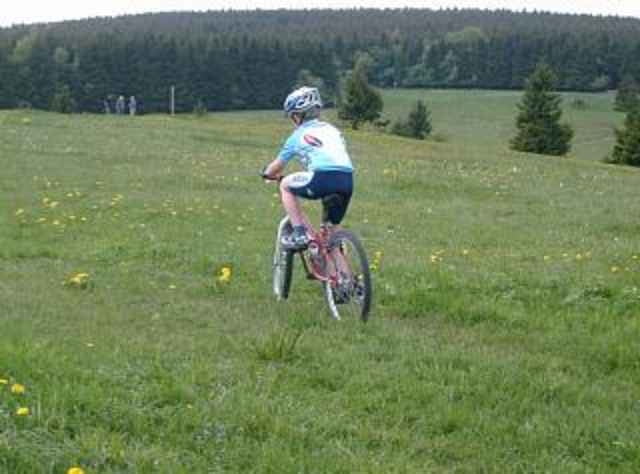
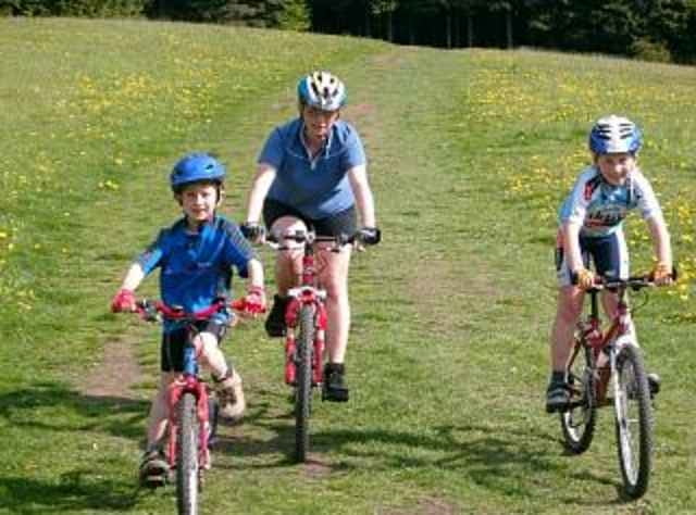
Vom Ausgangspunkt nahe Schildek führt die Strecke über teils befestigte, teils unbefestigte Wege in Richtung Feuerberg. Kurz vor dem letzten Anstieg zur Kissinger Hütte fährt man durch ein Basaltwerk und anschließend ca. 1,5 km bergan bis zum Ein- und Umkehrpunkt. Auf dem Rückweg kommt man am Würzburger Karl-Straub-Haus und am Berghaus Rhön vorbei, bevor man wieder zum Ausgangspunkt zurückkehrt. Die beschriebene Tour lässt sich auch mit Kindern sehr gut bewältigen, da der Rückweg wenige Steigungen beinhaltet und einige Hütten/Gasthäuser zum Kräfte tanken vorhanden sind.
galéria trás
Mapa trasy a výškový profil
Minimum height 135 m
Maximum height 838 m
komentáre

Autobahn A7, Ausfahrt Bad Brückenau, Richtung Schildek, an der Ortsausfahrt links bis zu einem Parkplatz.
GPS trasy
Trackpoints-
GPX / Garmin Map Source (gpx) download
-
TCX / Garmin Training Center® (tcx) download
-
CRS / Garmin Training Center® (crs) download
-
Google Earth (kml) download
-
G7ToWin (g7t) download
-
TTQV (trk) download
-
Overlay (ovl) download
-
Fugawi (txt) download
-
Kompass (DAV) Track (tk) download
-
list trasy (pdf) download
-
Original file of the author (g7t) download
Add to my favorites
Remove from my favorites
Edit tags
Open track
My score
Rate


