Login

Zabudli ste prihlasovacia meno

Cookies have to be accepted!
Your browser's cookie functionality is disabled. Please enable this functionality.

Not a member yet?

Register now
Login

Available for registred users only

Log in to use this feature.

Zabudli ste prihlasovacia meno

Cookies have to be accepted!
Your browser's cookie functionality is disabled. Please enable this functionality.

Not a member yet?

Register now
Filter
Kategórie
Advanced filters
  • Dĺžka (km)
  • výškomer
Uložiť filter Reset filter

TrackRank

QRCode

Technical data

Dĺžka2,0 km výškomer255 m Way down265 m Doba01:00 h:m dátum01.02.2010
ohodnotenia Author Kraj pôžitok z túry kondícia technika

štatistika

1120 náhľady 2 ohodnotenia 31 Stiahnutia 2.00 priemer
Rate
  • list trasy
  • príjazd
  • Stiahnutia

Ausgangspunkt

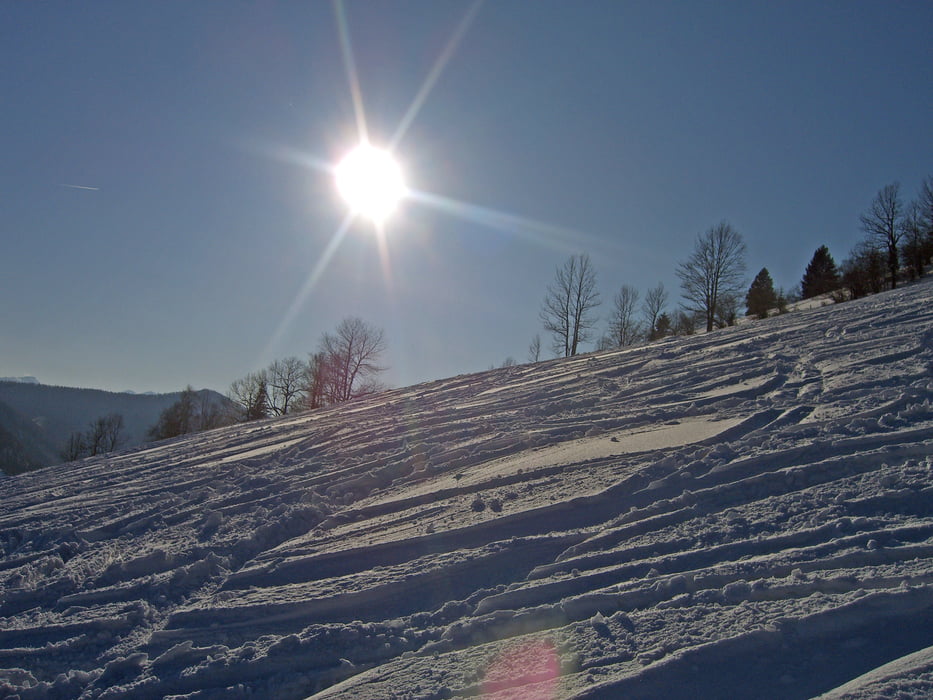
Kreuzgruberhöhe - Feuerwehrhaus Moosgraben und hier dan Hang einfach hoch.

Fast am Gipfel, findet man von Weihnachten bis Maria Lichtmess ein Kripperl in einem alten Stadl vor.

Die Abfahrt führt an einem gleichmäßig steilen hang bergab. Auch für Anfänger sehr gut geeignet.

Von vielen Tourengehern wird diese Tour 2, oder 3 mal hintereinander gegangen.


Viel Spaß mit der Tour


galéria trás

Mapa trasy a výškový profil

  • Open Street Map
  • Google
Minimum height 698 m Maximum height 966 m Detailný pohľad

More about the tour author

schoyswo
Member since 2008

Send private message

komentáre

GPS trasy

Trackpoints
  • GPX / Garmin Map Source (gpx) download
  • TCX / Garmin Training Center® (tcx) download
  • CRS / Garmin Training Center® (crs) download
  • Google Earth (kml) download
  • G7ToWin (g7t) download
  • TTQV (trk) download
  • Overlay (ovl) download
  • Fugawi (txt) download
  • Kompass (DAV) Track (tk) download
  • list trasy (pdf) download
  • Original file of the author (gpx) download

More about the tour author

schoyswo
Member since 2008

Send private message
Share track
Add to my favorites
Remove from my favorites
Edit tags
My score
Rate
trasa: Freithofberg - Maria Neustift
Druh: lyže
Dĺžka: 2,0 km
Evaluated on:
Doba:
Day(s)
Hour(s)
Minute(s)
ohodnotenie: Kraj pôžitok z túry kondícia technika