


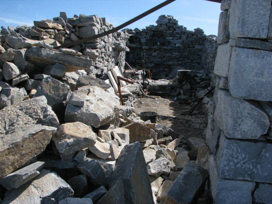
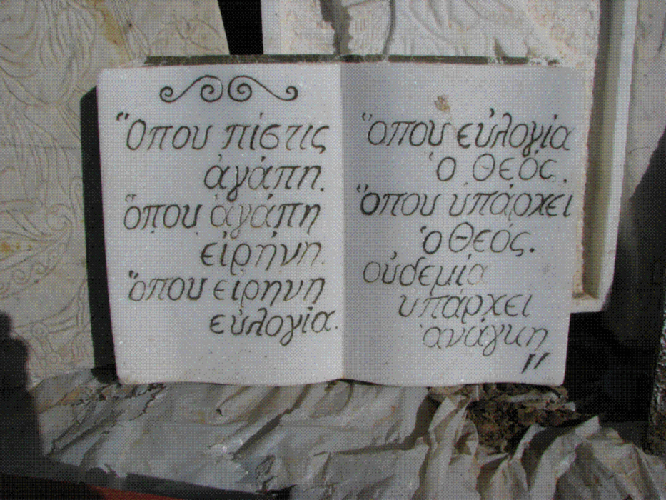
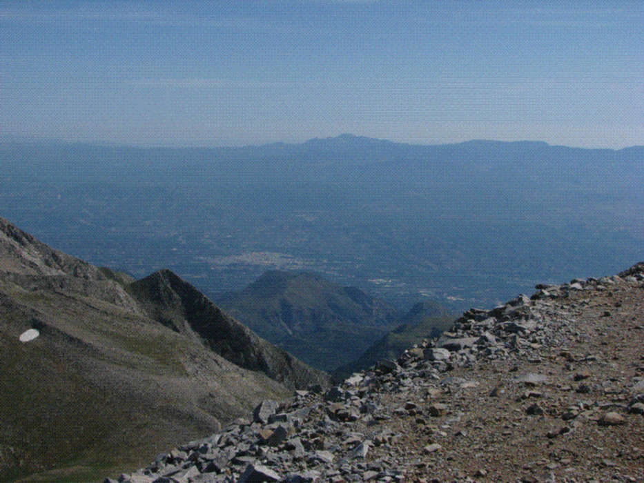
Vom Parkplatz an der Maganiari-Quelle geht es durch den Wald auf markiertem Weg an Tripoda-Quelle vorbei zur Schutzhütte des Griechischen Alpenvereins (EOS) . Hier wird der Gipfel erstmals sichtbar. Auf gutem Pfad über die baumlosen Hänge zum Gipfel mit der eingestürzten Kapelle des Propheten Elias, Schutzpatron der Hirten. Die Ruine ist aber mit ganz neuen (2008) Votivtafeln ausgestattet. Grandioser Blick auf die wilde Halbinsel Mani zwischem Lakonischen und Messinischem Golf.
galéria trás

Mapa trasy a výškový profil
Minimum height 960 m
Maximum height 2405 m
More about the tour author

|
Rhadamanthys |
komentáre

Von Sparta auf der E961 Richtung Githio, nach ca. 6 km rechtsab nach Anogia und weiter nach Palaiopanagia. Im Ort rechts dem Wegweiser "Shelter of Taygetos" folgen, schmale Bergstraße, so gut wie geteert, bis zum schattigen Parkplatz an der Maganiari-Quelle mit Pavillion. Am Wochenende beliebter Ausflugsort der Autochtonen (Einheimischen).
GPS trasy
Trackpoints-
GPX / Garmin Map Source (gpx) download
-
TCX / Garmin Training Center® (tcx) download
-
CRS / Garmin Training Center® (crs) download
-
Google Earth (kml) download
-
G7ToWin (g7t) download
-
TTQV (trk) download
-
Overlay (ovl) download
-
Fugawi (txt) download
-
Kompass (DAV) Track (tk) download
-
list trasy (pdf) download
-
Original file of the author (gpx) download
More about the tour author
|
|
Rhadamanthys |
Add to my favorites
Remove from my favorites
Edit tags
Open track
My score
Rate