Login

Zabudli ste prihlasovacia meno

Cookies have to be accepted!
Your browser's cookie functionality is disabled. Please enable this functionality.

Not a member yet?

Register now
Login

Available for registred users only

Log in to use this feature.

Zabudli ste prihlasovacia meno

Cookies have to be accepted!
Your browser's cookie functionality is disabled. Please enable this functionality.

Not a member yet?

Register now
Filter
Kategórie
Advanced filters
  • Dĺžka (km)
  • výškomer
Uložiť filter Reset filter

TrackRank

QRCode

Technical data

Dĺžka7,5 km výškomer303 m Way down322 m Doba02:20 h:m dátum07.02.2010
ohodnotenia Author Kraj pôžitok z túry kondícia technika

štatistika

582 náhľady ohodnotenia 51 Stiahnutia priemer
Rate
  • list trasy
  • príjazd
  • Stiahnutia

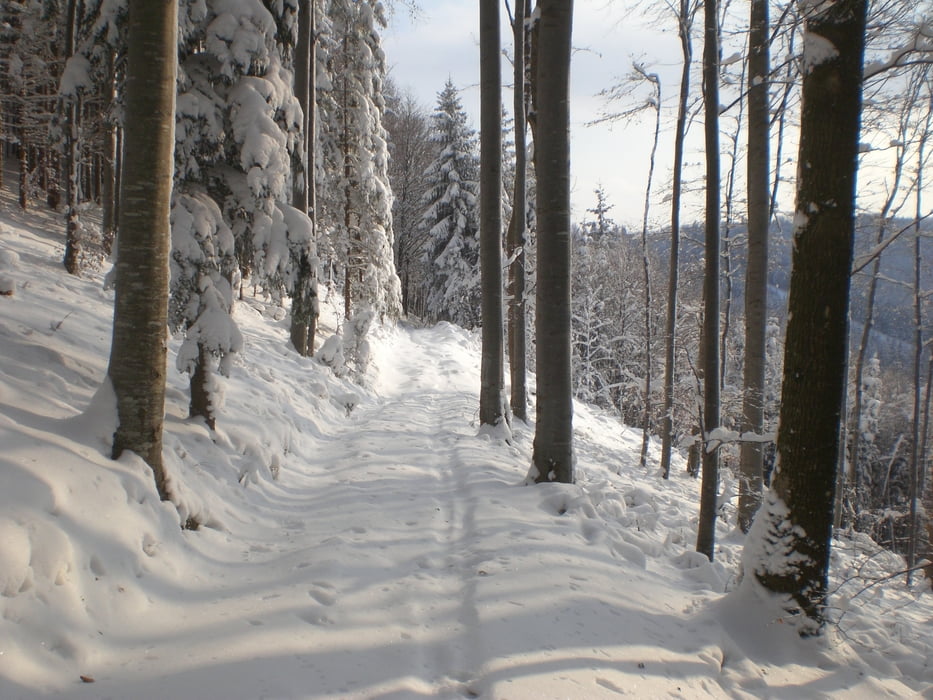
Die Runde startet beim Parkplatz vom Schilift und führt gegen den Uhrzeigersinn um den Glasenberg herum. Es gibt auch die Möglichkeit, auf den "Gipfel" aufzusteigen. Der letzte Rest der Runde wurde ohne Schneeschuhe bewältigt.

Einkehrmöglichkeit in der Glasnerhütte.

galéria trás

Mapa trasy a výškový profil

  • Open Street Map
  • Google
Minimum height 309 m Maximum height 922 m Detailný pohľad

More about the tour author

peter4483
Member since 2009

Send private message

komentáre

GPS trasy

Trackpoints
  • GPX / Garmin Map Source (gpx) download
  • TCX / Garmin Training Center® (tcx) download
  • CRS / Garmin Training Center® (crs) download
  • Google Earth (kml) download
  • G7ToWin (g7t) download
  • TTQV (trk) download
  • Overlay (ovl) download
  • Fugawi (txt) download
  • Kompass (DAV) Track (tk) download
  • list trasy (pdf) download
  • Original file of the author (gpx) download

More about the tour author

peter4483
Member since 2009

Send private message
Share track
Add to my favorites
Remove from my favorites
Edit tags
My score
Rate
trasa: Rund um den Glasenberg
Druh: snežnice
Dĺžka: 7,5 km
Evaluated on:
Doba:
Day(s)
Hour(s)
Minute(s)
ohodnotenie: Kraj pôžitok z túry kondícia technika