


Vom Parkplatz in nördlicher Richtung vorbei an der Josef -Müller-Halle in Heinsheim bis zur Straße nach Gundelsheim. Hier links hoch und nach 50 m nach links zur Gässnerklinge. Hoch bis zur Straße, die zur Burg Guttenberg führt und darauf rechts ab. Im Wald au fHöhe des ersten Parkplatzes rechts auf Waldweg und wieder zurück zum Waldrand. Hier links halten und immer gerade weiter, zum Schluß auf verblocktem Singletrail hinab bis zum nördlichen Waldrand. Dort scharf links halten und vor und hoch zur Burg Guttenberg (Achtung! Tief fliegende Adler und Geier!). In Richtung Burgkapelle halten (re ab) und hinunter ins 5-Mühlen-Tal. Parallel zum Bächle vor zur Mühlenschänke. Ab hier das 5-Mühlen-Tal hoch in Richtung Bad Rappenau bis zur Brücke. Nach der Brücke nicht rechts, sondern auf verstecktem Weg steil hoch zum Judenfriedhof. Vorbei an der Abfall-Behandlungsanlage und der Schulmöbelfabrik nun auf Trail hoch über dem Neckartal und Heinsheim. Das Wäldchen im Westen umgehend, trifft man in der Senke auf einen steilen Anstieg, auf dessen Höhe man die Stadtbahn HN-Bad Rappenau sieht. An ihr einige Meter entlang und bald auf schmalem Trail hinunter zurück zum Parkplatz.
galéria trás


Mapa trasy a výškový profil
Minimum height -123 m
Maximum height 295 m
More about the tour author
|
|
rockydoc |
komentáre

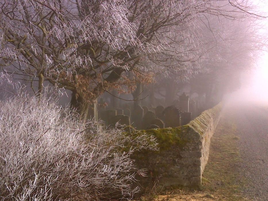
Parkplatz am Freibad Bad Wimpfen zwischen Bad Wimpfen und Heinsheim
GPS trasy
Trackpoints-
GPX / Garmin Map Source (gpx) download
-
TCX / Garmin Training Center® (tcx) download
-
CRS / Garmin Training Center® (crs) download
-
Google Earth (kml) download
-
G7ToWin (g7t) download
-
TTQV (trk) download
-
Overlay (ovl) download
-
Fugawi (txt) download
-
Kompass (DAV) Track (tk) download
-
list trasy (pdf) download
-
Original file of the author (gpx) download
More about the tour author
|
|
rockydoc |
Add to my favorites
Remove from my favorites
Edit tags
Open track
My score
Rate