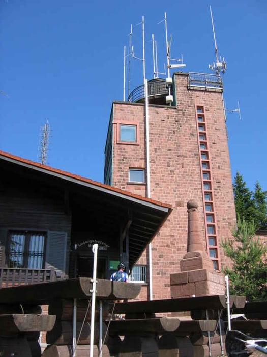
Vom Edenkobenertal auf den roten Balken dann zum roten Punkt auf den Kalmit. Zum Hohe Loog Haus, Auf den schwarzen Punkt Richtung Zigeuner Felsen, auf dem gelb grünen Kreuz zur Kaltenbrunnerhütte weiter zur Hubertushütte. Weiter zum Lambrechter Naturfreundehaus und dann zum Schänzel und Ludwigturm. Als Abschluss zur Ruine Rietburg mit toller Aussicht ins Rheintal und angrenzendem Dammhirsch Wildpark.
Further information at
http://www.biketreff-niefern.degaléria trás
Mapa trasy a výškový profil
Minimum height 213 m
Maximum height 683 m
komentáre

Start in Edenkoben, im Edenkobenertal einfach einen Parkplatz suchen.
GPS trasy
Trackpoints-
GPX / Garmin Map Source (gpx) download
-
TCX / Garmin Training Center® (tcx) download
-
CRS / Garmin Training Center® (crs) download
-
Google Earth (kml) download
-
G7ToWin (g7t) download
-
TTQV (trk) download
-
Overlay (ovl) download
-
Fugawi (txt) download
-
Kompass (DAV) Track (tk) download
-
list trasy (pdf) download
-
Original file of the author (g7t) download
Add to my favorites
Remove from my favorites
Edit tags
Open track
My score
Rate


