


Start und Ziel in Moniga del Garda, Via san Sivino
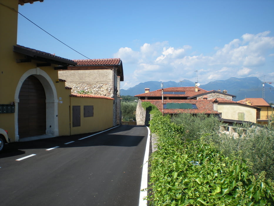
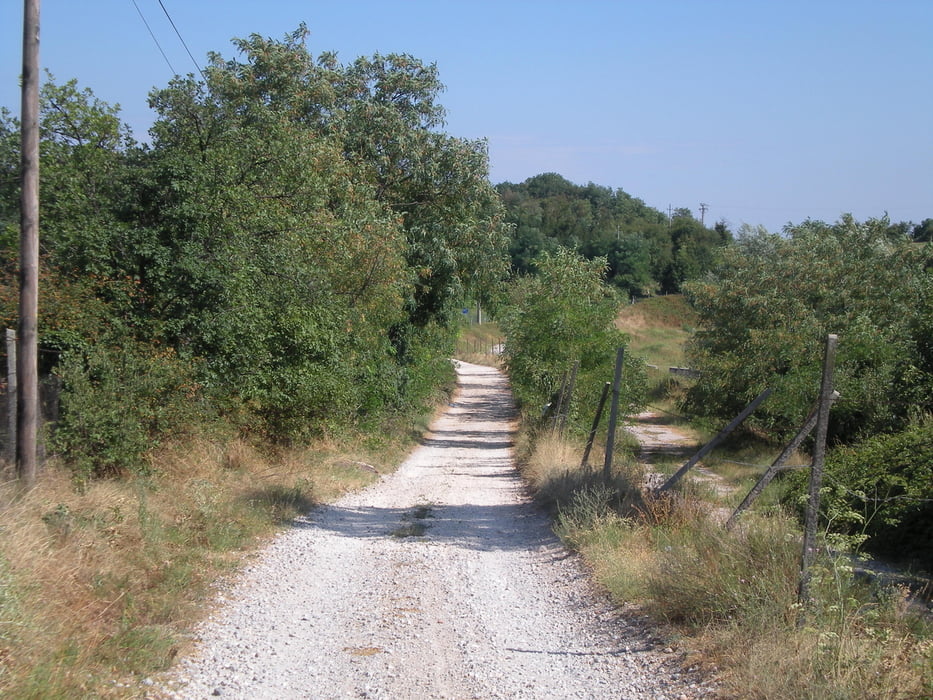
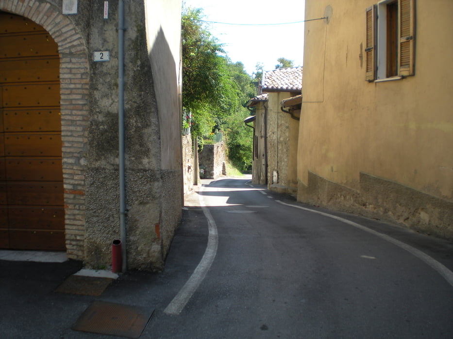
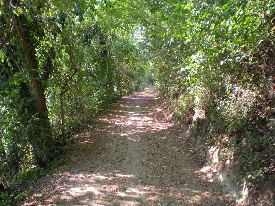
Die Tour führt auf Feldwegen durch Reben und kleine malerische Ortschaften. Es sind immer wieder kleine Aufstiege zu bewältigen. Die Feldwege habe so ihre Tücken, hab ein Plattfuss gefangen. Zum Glück habe ich immer Werkzeug dabei, bei einem Brunnen in Padenghe war die Panne schnell behoben. Von Padenghe nach Moniga gibt es eine Variante bei der nicht auf der stark befahrenen Hauptstrasse gefahren werden muss.
galéria trás
Mapa trasy a výškový profil
Minimum height 79 m
Maximum height 260 m
More about the tour author

|
thstettler |
komentáre

GPS trasy
Trackpoints-
GPX / Garmin Map Source (gpx) download
-
TCX / Garmin Training Center® (tcx) download
-
CRS / Garmin Training Center® (crs) download
-
Google Earth (kml) download
-
G7ToWin (g7t) download
-
TTQV (trk) download
-
Overlay (ovl) download
-
Fugawi (txt) download
-
Kompass (DAV) Track (tk) download
-
list trasy (pdf) download
-
Original file of the author (gpx) download
More about the tour author
|
|
thstettler |
Add to my favorites
Remove from my favorites
Edit tags
Open track
My score
Rate