
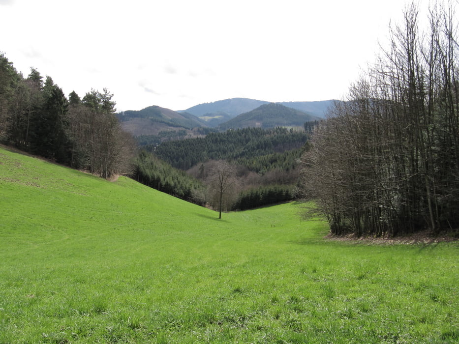

Die Tour ist gut ausgeschildert und kann auch ohne GPS gut gefunden werden.
Bis Schönwasen der Wegmarkierung K (Kandelhöhenweg) folgen, dann dem Wegweiser zur Bildeiche, anschliessend der blauen Raute hinunter zum Hummelswasen, hier Einkehrmöglichkeit in der gleichnahmigen Wirtschaft, ab da wieder hinauf mit der der gelben Raute zum Geigerskopf und dieser dann folgen zurück nach Oberkirch.
Parkmöglichkeit: In der Werkstraße am Bahnhof oder auf dem Parkplatz in der "Im Rosenhag" Straße
Mapa trasy a výškový profil
Minimum height 181 m
Maximum height 482 m
More about the tour author

|
Mallaga |
komentáre

GPS trasy
Trackpoints-
GPX / Garmin Map Source (gpx) download
-
TCX / Garmin Training Center® (tcx) download
-
CRS / Garmin Training Center® (crs) download
-
Google Earth (kml) download
-
G7ToWin (g7t) download
-
TTQV (trk) download
-
Overlay (ovl) download
-
Fugawi (txt) download
-
Kompass (DAV) Track (tk) download
-
list trasy (pdf) download
-
Original file of the author (gpx) download
More about the tour author
|
|
Mallaga |
Add to my favorites
Remove from my favorites
Edit tags
Open track
My score
Rate