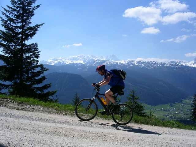
STart beim Landhotel Agathawirt folgen wir der Straße bis zum sog. Gosauzwang, dann geht's Forststraßen entlang ins Gosautal hinein Richtung Paß Gschütt und auf die Igelmoos-Alm hinauf - wir fahren hier noch ein kleines Stück weiter bergauf, dann müssen wir die Bikes stehen lassen und wandern zu Fuß das restliche kleine Stück weiter auf die "Goisererhütte" von der wir wieder auf die andere Talseite, das Goiserer Tal hinunterschauen, dann geht's wieder talwärts nach Gosau und talauswärts zurück zum Hallstätter See
Further information at
http://www.landhotels.at/agathawirt/Mapa trasy a výškový profil
Minimum height 506 m
Maximum height 1590 m
komentáre

GPS trasy
Trackpoints-
GPX / Garmin Map Source (gpx) download
-
TCX / Garmin Training Center® (tcx) download
-
CRS / Garmin Training Center® (crs) download
-
Google Earth (kml) download
-
G7ToWin (g7t) download
-
TTQV (trk) download
-
Overlay (ovl) download
-
Fugawi (txt) download
-
Kompass (DAV) Track (tk) download
-
list trasy (pdf) download
-
Original file of the author (g7t) download
Add to my favorites
Remove from my favorites
Edit tags
Open track
My score
Rate


