


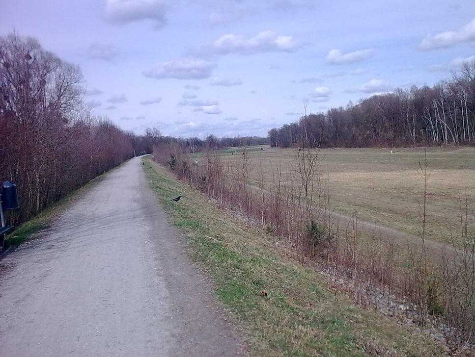
Gemütiche Feierabendrunde entlang des Inns und mit schönem Bergblick, nicht schwierig
Wenn man von Griesstätt zurück Richtung Rosenheim fährt, hat man die Möglichkeit nach Sunkenroth (ist eigentlich nur ein Bauernhof) kurz danach rechts den Schotterweg hinab zu fahren Richtung Inndamm, gegenüber der Schotterabfahrt ist eine kleine Bausandmulde-Abbaumulde. Da dann bis runter fahren und immer auf dem Weg bleiben kommt man auch auf den Inndamm, wobei ich diese Teilstück der Strecke aber nicht so toll finde, obwohl es abseits der Straße ist bis Rosenheim.
galéria trás

Mapa trasy a výškový profil
Minimum height 426 m
Maximum height 495 m
More about the tour author
|
|
drossi |
komentáre
Tour kann eigentlich von fast jedem Punkt aus gestartet werden, egal ob von Rosenheim, Griesstätt, oder Rott am Inn.
GPS trasy
Trackpoints-
GPX / Garmin Map Source (gpx) download
-
TCX / Garmin Training Center® (tcx) download
-
CRS / Garmin Training Center® (crs) download
-
Google Earth (kml) download
-
G7ToWin (g7t) download
-
TTQV (trk) download
-
Overlay (ovl) download
-
Fugawi (txt) download
-
Kompass (DAV) Track (tk) download
-
list trasy (pdf) download
-
Original file of the author (gpx) download
More about the tour author
|
|
drossi |
Add to my favorites
Remove from my favorites
Edit tags
Open track
My score
Rate
Abzweig nach Schloßberg
Sehr schöne Tour wenn man rechts herum fährt und dann immer das Bergpanorama vor den Augen hat