


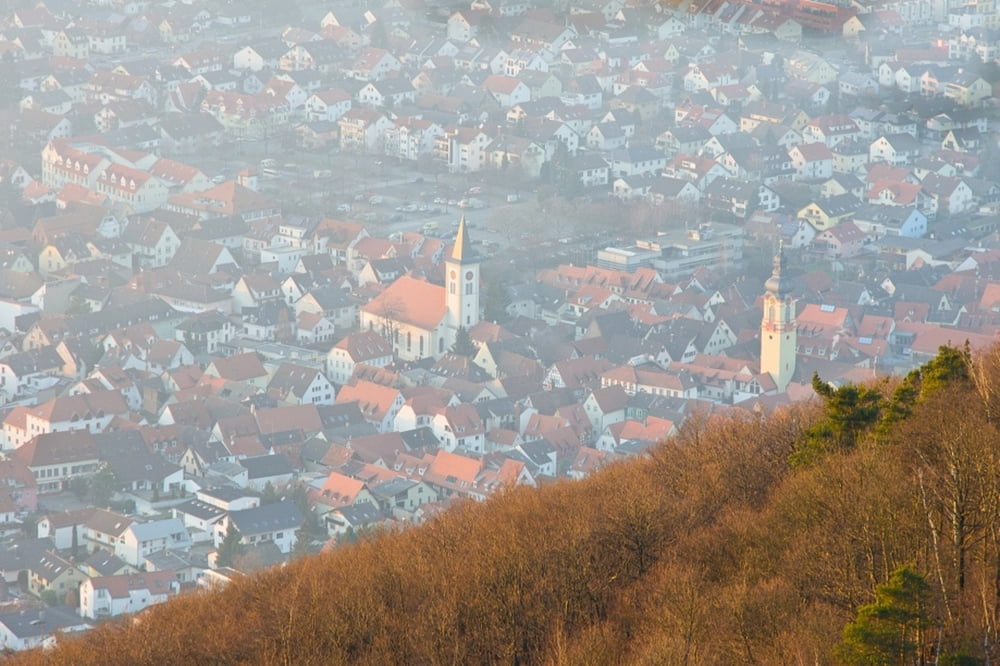
Sehr schöne Runde mit dem Rennrad über den legendären Apfelbluetenweg. In Hohensachsen geht es nach rechts und dann immer der Bundesstrasse Richtung Ursenbach folgen.
Die Ursenbacher Höhe ist der höchste Punkt. Von hier aus geht es Richtung Schriesheimer Tal abwärts. An der Hauptstrasse kann man entweder Richtung Schriesheim abfahren und noch über Wilhelmsfeld fahren.
Start in Dossenheim. Dann an der B3 bis Hohensachsen und nach rechts Richtung Rippenweier.
galéria trás
Mapa trasy a výškový profil
Minimum height 100 m
Maximum height 439 m
More about the tour author
|
|
haterrespect |
komentáre

Start in Schriesheim oder Hirschberg. Man kann irgenwo an der Bergstrasse einsteigen.
GPS trasy
Trackpoints-
GPX / Garmin Map Source (gpx) download
-
TCX / Garmin Training Center® (tcx) download
-
CRS / Garmin Training Center® (crs) download
-
Google Earth (kml) download
-
G7ToWin (g7t) download
-
TTQV (trk) download
-
Overlay (ovl) download
-
Fugawi (txt) download
-
Kompass (DAV) Track (tk) download
-
list trasy (pdf) download
-
Original file of the author (gpx) download
More about the tour author
|
|
haterrespect |
Add to my favorites
Remove from my favorites
Edit tags
Open track
My score
Rate