


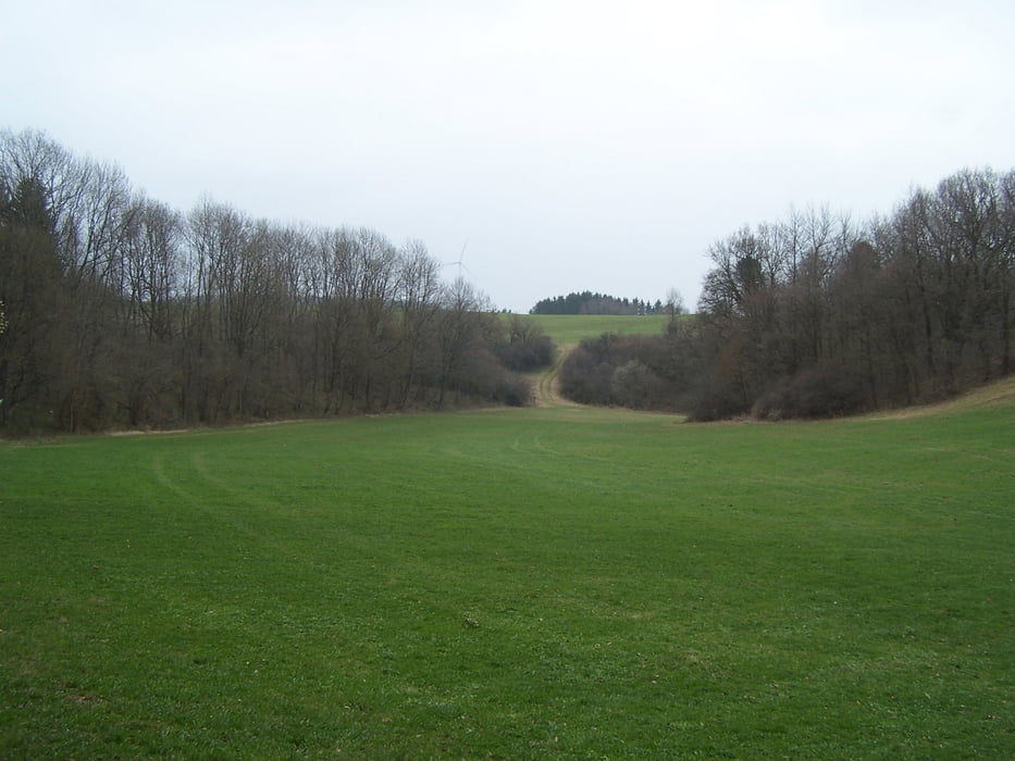
Das Roggental ist landschaftlich wunderschön. Das Haupttal ist eng und mit Felsen gesäumt. Ein Paradies für Kletterer und auch für Fußgänger.
Die Wanderung startet am Mordloch. Die Höhle ist offen aber nicht weit gangbar. Ein Syphon versperrt bald den Weg wenn nicht schon der Bach aus der Höhle den Weg verlegt.
Zuerst wandern wir das Tal hoch bis zur Kläranlage. Hier gehts dann auf einem neuen Forstweg hoch zum Ravenstein. Dort stand vor Zeiten eine Burg. Auf guten Wegen über die Hochfläche nach Steinenkirch. Auf der anderen Ortsseite beginnt der eindrucksvollste Teil des Weges. Das Magental beginnt sanft. Später fällt der Wanderweg stark ab und verläuft durch eine Schlucht die von umgestürtzen Bäumen fast verlegt wird.
Zum Schluss wieder das Roggental hinauf an den beiden Roggenmühlen vorbei zum Ausgangspunkt.
Further information at
http://de.wikipedia.org/wiki/Mordlochgaléria trás


Mapa trasy a výškový profil
Minimum height 482 m
Maximum height 658 m
More about the tour author
|
|
Pheinz |
komentáre
Parkplatz am Mordloch.
GPS trasy
Trackpoints-
GPX / Garmin Map Source (gpx) download
-
TCX / Garmin Training Center® (tcx) download
-
CRS / Garmin Training Center® (crs) download
-
Google Earth (kml) download
-
G7ToWin (g7t) download
-
TTQV (trk) download
-
Overlay (ovl) download
-
Fugawi (txt) download
-
Kompass (DAV) Track (tk) download
-
list trasy (pdf) download
-
Original file of the author (gpx) download
More about the tour author
|
|
Pheinz |
Add to my favorites
Remove from my favorites
Edit tags
Open track
My score
Rate
tolle Tour