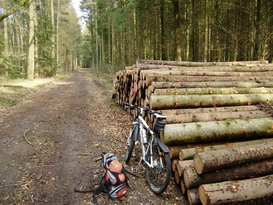
Wir starten beim Gasthaus "Zum Vogel". Auf Planwegen geht es zum Dettinger Wald. Nun beginnen unsere fünf Anstiege für diese abwechlsungsreiche Tour. Es folgt auch Schotter auf lange Zeit durch den Wald. Dreimal geht es auf und ab dann reiten wir auf den Wellen wie ein Surfer auf den Wellen - das macht richtig Spaß. Ab Rot an der Rot geht es asphaltiert noch mal hoch hinaus danach wieder fallend hinab. In Haslach nochmal das Bergle hinauf nun schotterig werdend und wellig hinab bis Tannheim, weiter alles asphaltiert. Über Illerbachen gelangen wir nach Berkheim. Dort gibt es mehrere Einkehrmöglichkeiten. Wir gehen ins Larifari, da trifft man alleweil jemanden.
Hinweis: Der am 15.04.2010 gefahrene Track ist fehlerkorrigiert!
Wetter: 10°C Abfahrt und Ankunft. Sonnig. Kaum Wind. Ideale Bikerbedingungen nach einem Regentag!
Bekleidung: Alles lang gefahren - die Zehenspitzen frieren etwas!
Zus. Hinweise: max. Spd. 44Km/h - AVS 17,3Km/h - Pause 01:30h
228-29-21072018
Further information at
http://www.schenie.degaléria trás
Mapa trasy a výškový profil
komentáre
von A nach B
Aus meinem Tagebuch:
Sehenswert:
Einkehrmöglichkeit:
Schlußworte:
Radtechnik: TREK8000
228-29-21072018
GPS: Garmin Etrex Vista HCX
GPS trasy
Trackpoints-
GPX / Garmin Map Source (gpx) download
-
TCX / Garmin Training Center® (tcx) download
-
CRS / Garmin Training Center® (crs) download
-
Google Earth (kml) download
-
G7ToWin (g7t) download
-
TTQV (trk) download
-
Overlay (ovl) download
-
Fugawi (txt) download
-
Kompass (DAV) Track (tk) download
-
list trasy (pdf) download
-
Original file of the author (gpx) download


Trekkingrad
Gruß Sir Alex