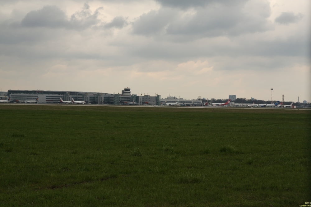
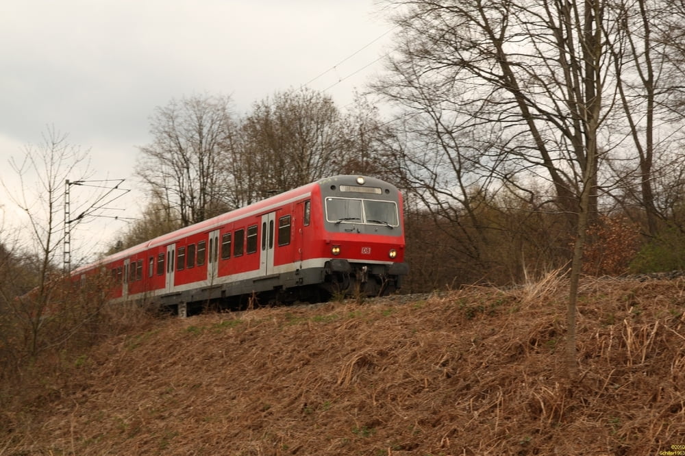
Eine kurze Wanderung war geplant. Highlight dieser Tour ist die Sicht auf die startenden und landenden Flugzeuge des Flughafens Düsseldorf. Danach orientiert sich der Weg am X17 des SGV (Harkortweg) und führt durch ein langgestrecktes Waldgebiet ins Ruhrtal.
Further information at
http://de.wikipedia.org/wiki/Harkortweggaléria trás
Mapa trasy a výškový profil
Minimum height -71 m
Maximum height 117 m
komentáre

U79 ab Duisburg und Düsseldorf bis Kittelbachstraße oder mit der S6 ab Essen-Kettwig Haltepunk Stausee.
GPS trasy
Trackpoints-
GPX / Garmin Map Source (gpx) download
-
TCX / Garmin Training Center® (tcx) download
-
CRS / Garmin Training Center® (crs) download
-
Google Earth (kml) download
-
G7ToWin (g7t) download
-
TTQV (trk) download
-
Overlay (ovl) download
-
Fugawi (txt) download
-
Kompass (DAV) Track (tk) download
-
list trasy (pdf) download
-
Original file of the author (gpx) download
Add to my favorites
Remove from my favorites
Edit tags
Open track
My score
Rate


