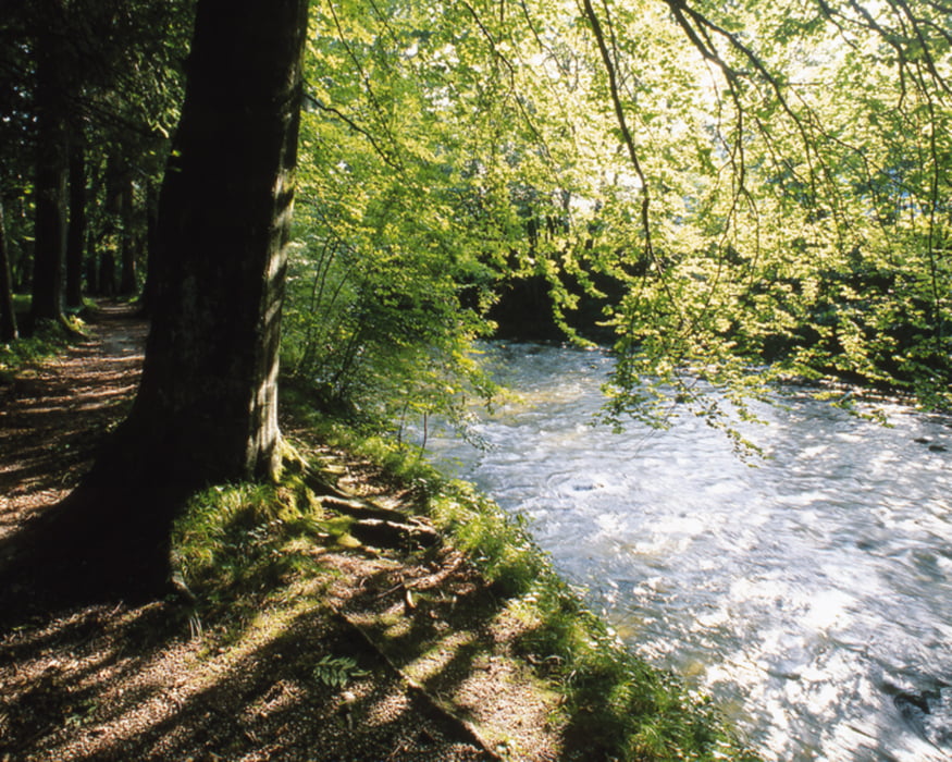
Entstanden durch den Priengletscher, einem kleinen Bruder des riesigen Inngletschers, kann hier die Prien fließen so wie sie einst durch nacheiszeitliche Wassermassen entstanden ist.
Further information at
http://tourismus.prien.de/de/detail/natur,4318.htmMapa trasy a výškový profil
Minimum height 526 m
Maximum height 566 m
komentáre

Einen „Katzensprung“ entfernt vom Ortszentrum befindet sich das Kleinod Eichental.
GPS trasy
Trackpoints-
GPX / Garmin Map Source (gpx) download
-
TCX / Garmin Training Center® (tcx) download
-
CRS / Garmin Training Center® (crs) download
-
Google Earth (kml) download
-
G7ToWin (g7t) download
-
TTQV (trk) download
-
Overlay (ovl) download
-
Fugawi (txt) download
-
Kompass (DAV) Track (tk) download
-
list trasy (pdf) download
-
Original file of the author (gpx) download
Add to my favorites
Remove from my favorites
Edit tags
Open track
My score
Rate

