Login

Zabudli ste prihlasovacia meno

Cookies have to be accepted!
Your browser's cookie functionality is disabled. Please enable this functionality.

Not a member yet?

Register now
Login

Available for registred users only

Log in to use this feature.

Zabudli ste prihlasovacia meno

Cookies have to be accepted!
Your browser's cookie functionality is disabled. Please enable this functionality.

Not a member yet?

Register now
Filter
Kategórie
Advanced filters
  • Dĺžka (km)
  • výškomer
Uložiť filter Reset filter

TrackRank

QRCode

Technical data

Dĺžka29,9 km výškomer451 m Way down436 m Doba02:00 h:m dátum20.04.2010
ohodnotenia Author Kraj pôžitok z túry kondícia technika

štatistika

686 náhľady ohodnotenia 38 Stiahnutia priemer
Rate
  • list trasy
  • príjazd
  • Stiahnutia

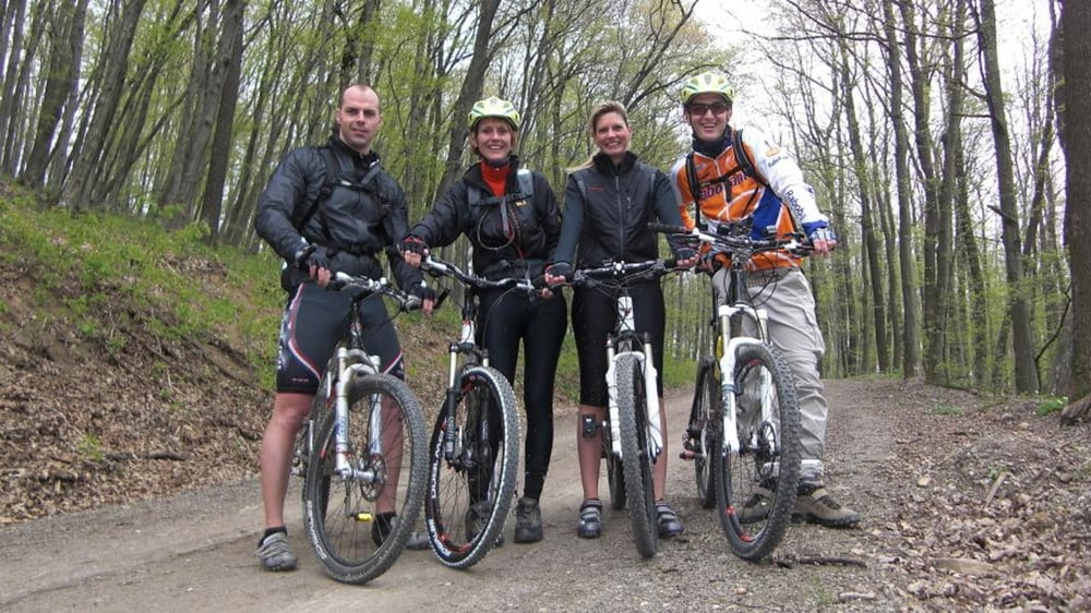
Hübsche Strecke. Ideal für Einsteiger. Grossteils auch bei nassen Böden befahrbar.

Further information at

http://www.mbike.at/

Mapa trasy a výškový profil

  • Open Street Map
  • Google
Minimum height 216 m Maximum height 450 m Detailný pohľad

More about the tour author

harnoncourt

komentáre

Von Wien mit der S-Bahn nach Liesing.

Start direkt am Bahnhof.

GPS trasy

Trackpoints
  • GPX / Garmin Map Source (gpx) download
  • TCX / Garmin Training Center® (tcx) download
  • CRS / Garmin Training Center® (crs) download
  • Google Earth (kml) download
  • G7ToWin (g7t) download
  • TTQV (trk) download
  • Overlay (ovl) download
  • Fugawi (txt) download
  • Kompass (DAV) Track (tk) download
  • list trasy (pdf) download
  • Original file of the author (gpx) download

More about the tour author

harnoncourt

Share track
Add to my favorites
Remove from my favorites
Edit tags
My score
Rate
trasa: Kaltenleutgeben
Druh: horský bicykel
Dĺžka: 29,9 km
Evaluated on:
Doba:
Day(s)
Hour(s)
Minute(s)
ohodnotenie: Kraj pôžitok z túry kondícia technika