Login

Zabudli ste prihlasovacia meno

Cookies have to be accepted!
Your browser's cookie functionality is disabled. Please enable this functionality.

Not a member yet?

Register now
Login

Available for registred users only

Log in to use this feature.

Zabudli ste prihlasovacia meno

Cookies have to be accepted!
Your browser's cookie functionality is disabled. Please enable this functionality.

Not a member yet?

Register now
Filter
Kategórie
Advanced filters
  • Dĺžka (km)
  • výškomer
Uložiť filter Reset filter

TrackRank

QRCode

Technical data

Dĺžka50,5 km výškomer206 m Way down276 m Doba03:30 h:m dátum21.04.2010
ohodnotenia Author Kraj pôžitok z túry kondícia technika

štatistika

475 náhľady ohodnotenia 27 Stiahnutia priemer
Rate
  • list trasy
  • príjazd
  • Stiahnutia

Further information at

http://thorsten-bachner.de

galéria trás

Mapa trasy a výškový profil

  • Open Street Map
  • Google
Minimum height 11 m Maximum height 118 m Detailný pohľad

More about the tour author

tbachner
Member since 2007

Send private message

komentáre

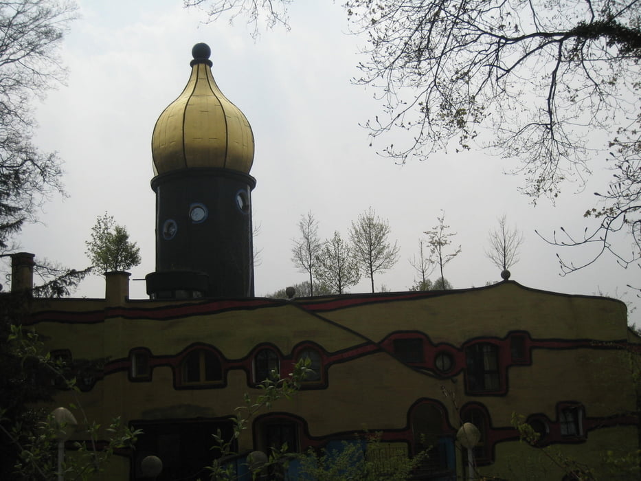
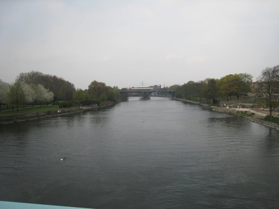
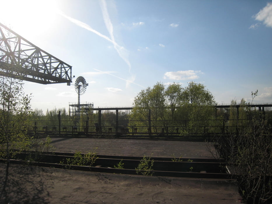
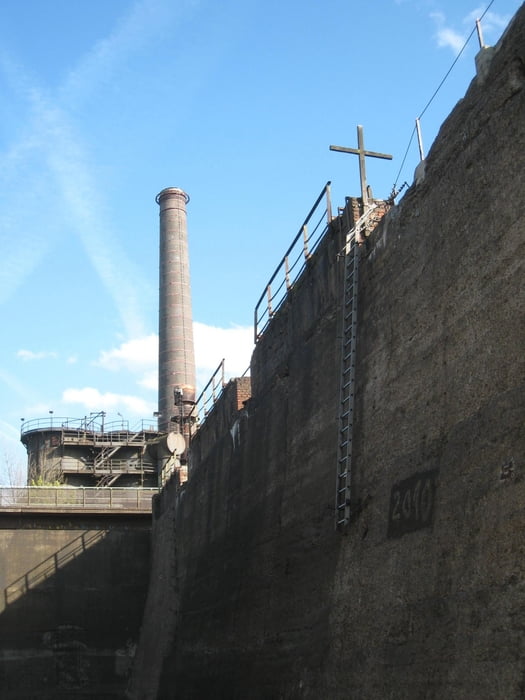
Die Tour beginnt und endet in der Innenstadt von Essen am dortigen Hauptbahnhof und endet an der Neuen Mitte Oberhausen.

Weitere Bahnhöfe  unmittelbar an der Strecke befinden sich inMülheim an der Ruhr , Duisburg und Ruhrort.  Auch Busse und Bahnen im Ruhrgebiet können genutzt werden um den ein oder anderen Kilometer abzukürzen.


GPS trasy

Trackpoints
  • GPX / Garmin Map Source (gpx) download
  • TCX / Garmin Training Center® (tcx) download
  • CRS / Garmin Training Center® (crs) download
  • Google Earth (kml) download
  • G7ToWin (g7t) download
  • TTQV (trk) download
  • Overlay (ovl) download
  • Fugawi (txt) download
  • Kompass (DAV) Track (tk) download
  • list trasy (pdf) download
  • Original file of the author (gpx) download

More about the tour author

tbachner
Member since 2007

Send private message
Share track
Add to my favorites
Remove from my favorites
Edit tags
My score
Rate
trasa: Durch das westliche Ruhrgebiet
Druh: trekingové bicykle
Dĺžka: 50,5 km
Evaluated on:
Doba:
Day(s)
Hour(s)
Minute(s)
ohodnotenie: Kraj pôžitok z túry kondícia technika