


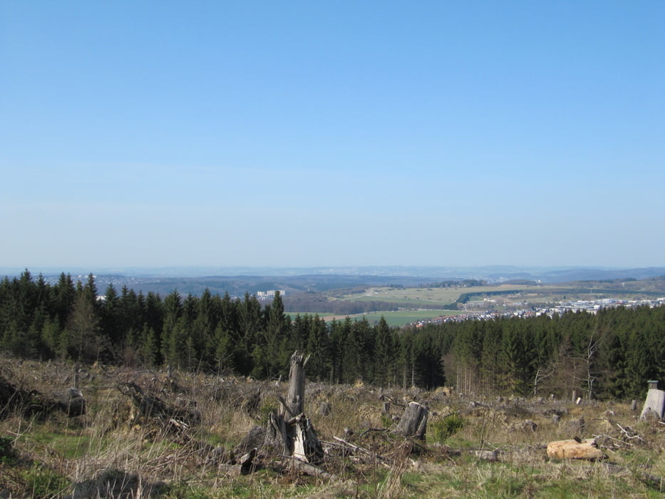
Schöne Tour durch die Ausläufer des Sauerlands mit vielen Höhenmetern und einigen Trails. Toller Ausblick auf das Gelände der Landesgartenschau in Hemer. Super Einkehrmöglichkeit auf dem Ferienhof Schulte in Balve - Leveringhausen (am Wochenende). Die Runde bin ich im Uhrzeigersinn gefahren, aber auch in der anderen Richtung ist es durchaus interessant und ohne weiteres möglich.
galéria trás
Mapa trasy a výškový profil
Minimum height 240 m
Maximum height 525 m
More about the tour author

|
alienatwork |
komentáre
GPS trasy
Trackpoints-
GPX / Garmin Map Source (gpx) download
-
TCX / Garmin Training Center® (tcx) download
-
CRS / Garmin Training Center® (crs) download
-
Google Earth (kml) download
-
G7ToWin (g7t) download
-
TTQV (trk) download
-
Overlay (ovl) download
-
Fugawi (txt) download
-
Kompass (DAV) Track (tk) download
-
list trasy (pdf) download
-
Original file of the author (gpx) download
More about the tour author
|
|
alienatwork |
Add to my favorites
Remove from my favorites
Edit tags
Open track
My score
Rate
schöne, abwechslungsreiche Tour
Sie erfordert durch die Höhenmeter und länge schon eine gewisse Grundkondition, technisch war sie eher einfach. Teilwiese haben wir die Tour leicht verändert und ein paar Trail abfahrten "engebaut".
Wir sind die Rund übrigens im Uhrzeigersinn gefahren.
Danke für die Tour. Weiter so :)