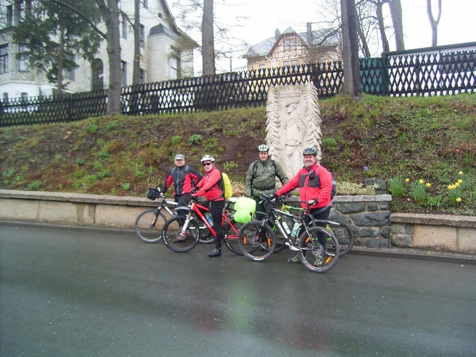
Ein echtes Erlebnis war die erste Rennsteig-Etappe. Wir sind in Blankenstein gestartet und in das Ziel war Neuhaus am Rennweg. Leider hat das Wetter nicht ganz so mitgespielt. Es war kalt und nebelig. Die Wurzeltrails verlangen echtes Können.
galéria trás
Mapa trasy a výškový profil
Minimum height 430 m
Maximum height 835 m
komentáre

GPS trasy
Trackpoints-
GPX / Garmin Map Source (gpx) download
-
TCX / Garmin Training Center® (tcx) download
-
CRS / Garmin Training Center® (crs) download
-
Google Earth (kml) download
-
G7ToWin (g7t) download
-
TTQV (trk) download
-
Overlay (ovl) download
-
Fugawi (txt) download
-
Kompass (DAV) Track (tk) download
-
list trasy (pdf) download
-
Original file of the author (gpx) download
Add to my favorites
Remove from my favorites
Edit tags
Open track
My score
Rate


