
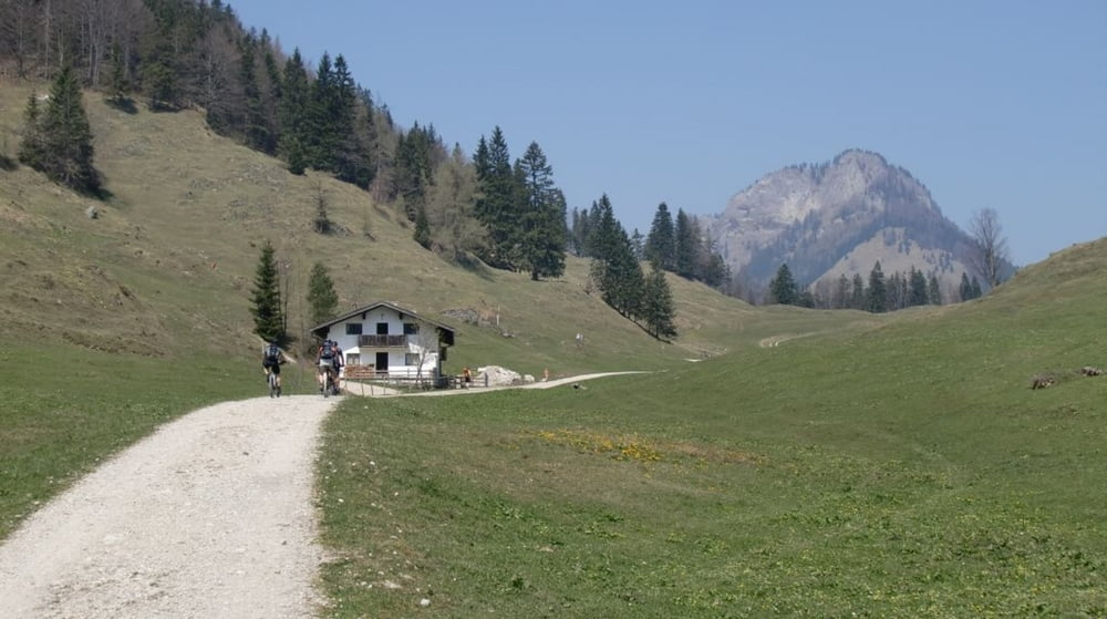

Die Tour beginnt in Nussdorf am Inn und leitet abwechslungsreich in das Gebiet des Samerbergs bis zum Wirtshaus Duftbräu. Es geht weiter tendentiell bergauf bis ca. km 12, dann geht es eine Zeitlang bergab. Herrlich ist der Almweg / Trail im Gebiet der Käsalm, dem man bis zur Schwarzrieshütte folgt. Noch einige Kilometer auf bestem Forstweg bergab, dann beginnt die Prüfung dieser Tour - die Auffahrt zum Kranzhorn. Im unteren Teil noch moderat wird's nach oben zu immer steiler und der Untergrund immer lockerer. Nach einigen Kehren hat man die schön gelegene Kranzhornhütte erreicht - wer will steigt noch ca. 20min zum Gipfel auf. Nach der wohlverdienten Rast geht wieder ein Stück zurück, bis der Weg wieder hinüber nach Bayern abzweigt. Diese lange und geröllige Abfahrt erinnert angenehm an einige Gardasse-Abfahrten. Mit heissen Bremsen mündet man in Windshausen und folgt dem Inn zurück nach Nussdorf.
galéria trás


Mapa trasy a výškový profil
Minimum height 398 m
Maximum height 1218 m
More about the tour author

|
mfa69 |
komentáre

Von München kommend auf der A8 Richtung Salzburg bis zum Inntalkreuz. Dort rechts in Richtung Kufstein bis zur Ausfahrt Brannenburg / Nussdorf. In's Ortszentrum von Nussdorf, dort links und gleich nach der Linkskehre links in den Parkplatz.
GPS trasy
Trackpoints-
GPX / Garmin Map Source (gpx) download
-
TCX / Garmin Training Center® (tcx) download
-
CRS / Garmin Training Center® (crs) download
-
Google Earth (kml) download
-
G7ToWin (g7t) download
-
TTQV (trk) download
-
Overlay (ovl) download
-
Fugawi (txt) download
-
Kompass (DAV) Track (tk) download
-
list trasy (pdf) download
-
Original file of the author (gpx) download
More about the tour author
|
|
mfa69 |
Add to my favorites
Remove from my favorites
Edit tags
Open track
My score
Rate