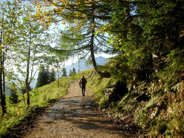
Wir starten vom Buchauer Sattel (861 m) und folgen dem Wanderweg 636 meist auf Forststraßen bis zur Grabneralm (1391 m), ca. 1 1/2 Std. Die Grabneralm befindet sich an den Ausläufern der östlichen Haller Mauern, wurde ursprünglich als "Schule für Alpwirtschaft" von der Landwirtschaftlichen Fachschule Grabnerhof errichtet.
Von hier geht der Weg 636 in Form eines Wanderweges weiter zum Admonter Haus (1725 m), ca. 1 Std, das direkt am Grabnertörl liegt.
Den Mittagskogel (2041 m), dessen Gipfelkreuz wir vom Admonter Haus bereits sehen können, erreichen wir über den Weg 634 in ca. 1 1/4 Std.
Zurück wanderten wir denselben Weg wie im Aufstieg, ca. 3 Std.
Hinweis: Der aufgezeichnete Track führt nur hinauf!
Karten:
Alpenvereinskarte 16 Ennstaler Alpen - Gesäuse, 1:25.000
BEV ÖK 99 Rottenmann, 1:50.000
Kompass WK 69 Gesäuse-Pyhrn-Eisenerz, 1:50.000, ISBN: 3-85491-078-9
Freytag & Berndt WK 062 Gesäuse, 1:50.000
Further information at
http://www.alpenverein.at/huettenHome/DE/Home/index.php?huetteNr=0003galéria trás
Mapa trasy a výškový profil
Minimum height 871 m
Maximum height 2060 m
komentáre

Per Auto von Altenmarkt bei St.Gallen oder von Admont (Ausfahrt „Gesäuse“ der A9) Richtung Weng bei Admont bis auf den „Buchauer Sattel“ (Tafel auf der rechten Straßenseite).
Hier folgen wir links der Straße etwa 50m bis zu den Hinweisschildern Grabneralm und Admonter Haus.
Das Haus hat den Namen „Schwarzbauer“ und ist in den Karten eingezeichnet.
Parkplätze entlang der Straße vorhanden.
Hier folgen wir links der Straße etwa 50m bis zu den Hinweisschildern Grabneralm und Admonter Haus.
Das Haus hat den Namen „Schwarzbauer“ und ist in den Karten eingezeichnet.
Parkplätze entlang der Straße vorhanden.
GPS trasy
Trackpoints-
GPX / Garmin Map Source (gpx) download
-
TCX / Garmin Training Center® (tcx) download
-
CRS / Garmin Training Center® (crs) download
-
Google Earth (kml) download
-
G7ToWin (g7t) download
-
TTQV (trk) download
-
Overlay (ovl) download
-
Fugawi (txt) download
-
Kompass (DAV) Track (tk) download
-
list trasy (pdf) download
-
Original file of the author (gpx) download
Add to my favorites
Remove from my favorites
Edit tags
Open track
My score
Rate


