


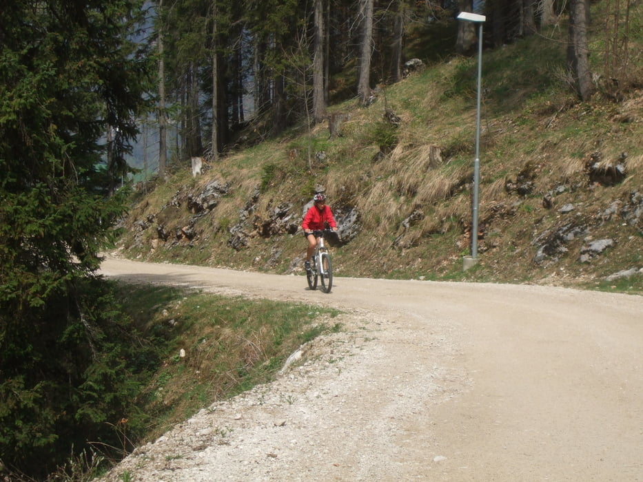
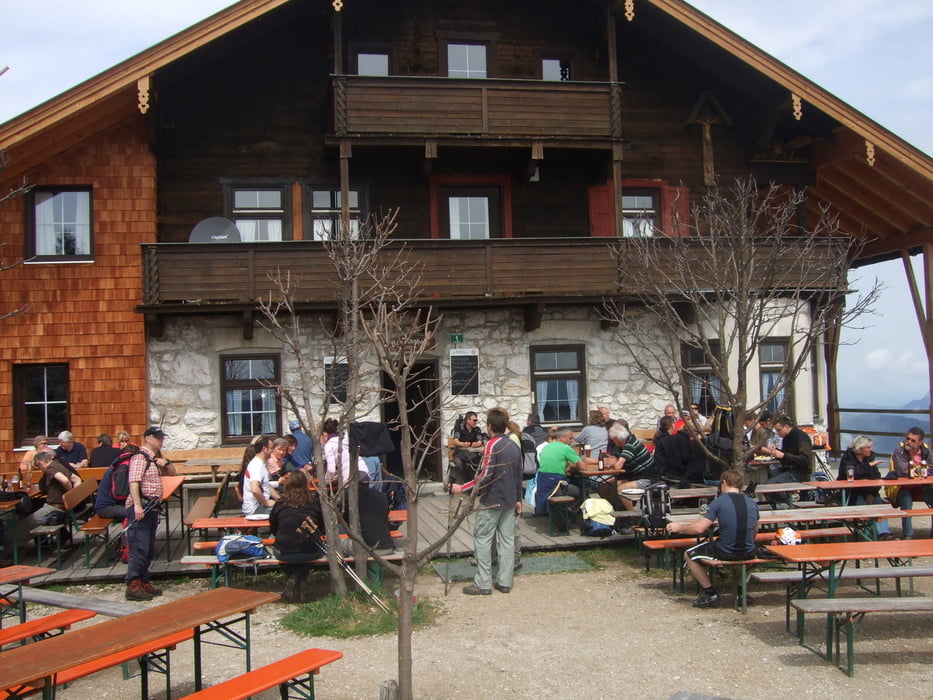
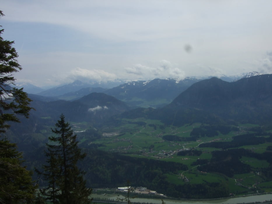
Die Tour startet mit einem schönen Forstweg in den Wald hinein. Nach ungefähr einem Kilometer wird es sehr steil und der Untergrund ist lose. Dieser Teil ist sehr schwer und schieben ist eine gute Maßnahme. Diese Strecke dauert circa 5-600 Meter. Danach ist es ein ordentlicher Forstweg. Also nicht verzagen, es wird leichter. Wichtig ist, es ist parallel ein Wanderweg auf den Pendling ausgeschildert, der eignet sich maximal für Downhillprofis. Hochfahren sollte man auf dem Forstweg :-). Bis zur Kalaralm steigt die Strecke beständig an und zwar mit ordentlicher Steigung, jedoch mit gut fahrbarem Untergrund. Hier ist einfach Kondition angesagt. Ab der Kalaralm bis zum Schutzhaus (Gipfel) wird es sanfter, denn man hat immer wieder kurze weniger steile Stücke. Der Ausblick vom Gipfel entschädigt für alles. Einfach nur grandios!!!
galéria trás
Mapa trasy a výškový profil
Minimum height 500 m
Maximum height 1542 m
More about the tour author

|
OlliWichmann |
komentáre

Ort : Langkampfen
Strasse : Am Stimmersee
Da gibt es ein paar Parkplätze.
GPS trasy
Trackpoints-
GPX / Garmin Map Source (gpx) download
-
TCX / Garmin Training Center® (tcx) download
-
CRS / Garmin Training Center® (crs) download
-
Google Earth (kml) download
-
G7ToWin (g7t) download
-
TTQV (trk) download
-
Overlay (ovl) download
-
Fugawi (txt) download
-
Kompass (DAV) Track (tk) download
-
list trasy (pdf) download
-
Original file of the author (gpx) download
More about the tour author
|
|
OlliWichmann |
Add to my favorites
Remove from my favorites
Edit tags
Open track
My score
Rate