


Die Tour war als Vorbereitung für einen Alpencross gedacht und eigentlich wollte ich die 1000 Höhenmeter "voll" machen.
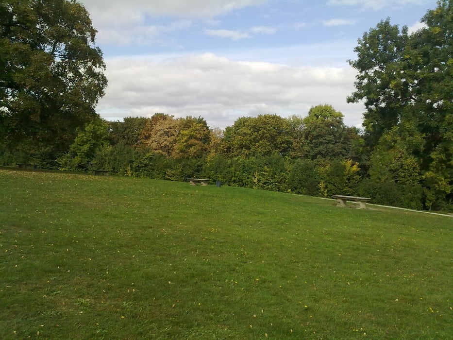
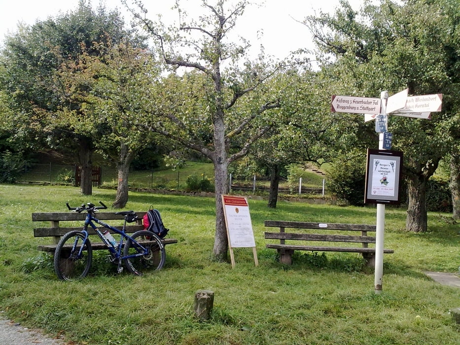
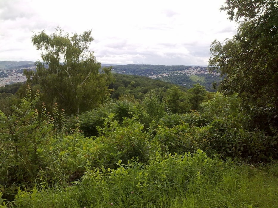
Start war in der Sickstrasse am Eingang zur Villa Berg. Durch den Park in den Stuttgarter Westen, dann die Karlshöhe und dann über die Hasenbergsteige zum Birkenkopf. Dort halbe Abfahrt über die Gallenklinge, wieder zurück, um schliesslich direkt zum Botnanger Sattel abzufahren. DIe Botnanger Steige hinunter und weil es so schön war nocheinmal hinauf (Ziel war das Training für den Alpencross!) und hinunter. Dann weiter ins Feuerbacher-Tal und Auffahrt über die Hohe Warte (mit einigen Schlenkern) zur Solitude. Zurück - wieder mit einigen Schlenkern - übers Feuerbacher Tal und den Killesberg.
galéria trás
Mapa trasy a výškový profil
Minimum height 199 m
Maximum height 500 m
More about the tour author

|
Ringostar |
komentáre

GPS trasy
Trackpoints-
GPX / Garmin Map Source (gpx) download
-
TCX / Garmin Training Center® (tcx) download
-
CRS / Garmin Training Center® (crs) download
-
Google Earth (kml) download
-
G7ToWin (g7t) download
-
TTQV (trk) download
-
Overlay (ovl) download
-
Fugawi (txt) download
-
Kompass (DAV) Track (tk) download
-
list trasy (pdf) download
-
Original file of the author (gpx) download
More about the tour author
|
|
Ringostar |
Add to my favorites
Remove from my favorites
Edit tags
Open track
My score
Rate