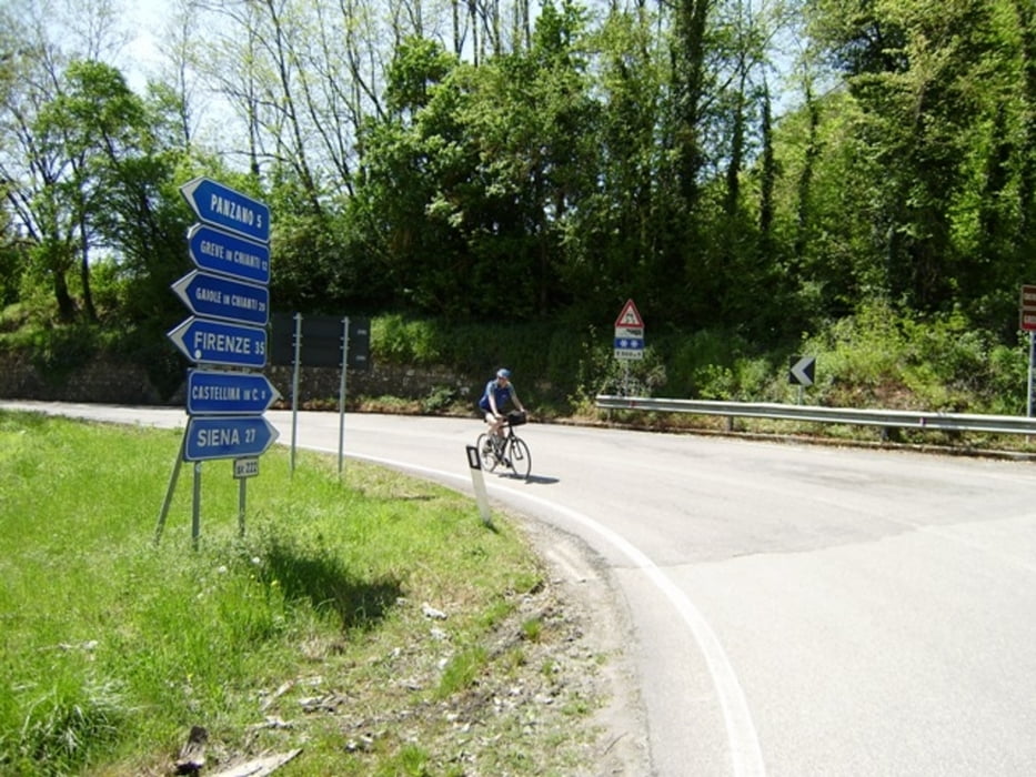
Wir fahren mit den Pkws von unserer FW über Volterra nach Poggibonsi.
Sehr gut kann man auch direkt nach dem Wegweiser nach Castelina bei einer Wertstoffinsel parken!
Der am 29.04.2010 gefahrene Track ist fehlerkorrigiert.
Ich empfehle die MARCO POLO Karte Toskana 1:200000 mitzuführen!
AVS 17,7 Km/h - max. Spd 65,1 Km/h - Pausenzeiten 2:15 h zusätzlich!
501-86-210720188
Further information at
http://www.schenie.degaléria trás
Mapa trasy a výškový profil
Minimum height 103 m
Maximum height 618 m
komentáre

Über Volterra nach Poggibonsi
Aus meinem Tagebuch:
Sehenswert:
Einkehrmöglichkeit:
Schlußworte:
Radtechnik: TREK8000
GPS: Garmin Etrex Vista HCX
501-86-21072018
GPS trasy
Trackpoints-
GPX / Garmin Map Source (gpx) download
-
TCX / Garmin Training Center® (tcx) download
-
CRS / Garmin Training Center® (crs) download
-
Google Earth (kml) download
-
G7ToWin (g7t) download
-
TTQV (trk) download
-
Overlay (ovl) download
-
Fugawi (txt) download
-
Kompass (DAV) Track (tk) download
-
list trasy (pdf) download
-
Original file of the author (gpx) download
Add to my favorites
Remove from my favorites
Edit tags
Open track
My score
Rate


