


Eine kleine Erkundungstour kurz vorm Dunkelwerden von unserem Gasthaus bis zum Rand des Wiesenttals, Fränkische Schweiz, östlich von Forchheim.
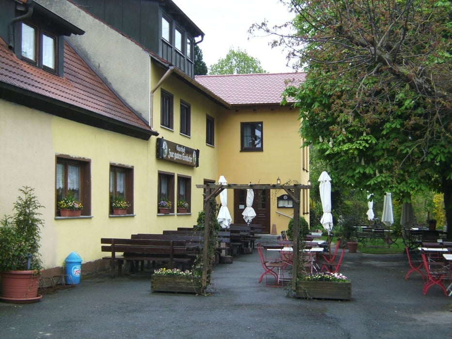
Start war wie an den beiden folgenden Tagen in Morschreuth beim Landgasthof „Zur guten Einkehr“. Eine empfehlenswerte, preisgünstige, gut geführte Herberge mit angeschlossenem Campingplatz, Boulderraum, Stützpunkt auch für DAV-Fachübungsleiterausbildungen. Tel. 09194 9140, ÜF (gutes Buffet) im DZ 23 - 25 € p.P., sehr gutes Essen, besonders das Schäufele!
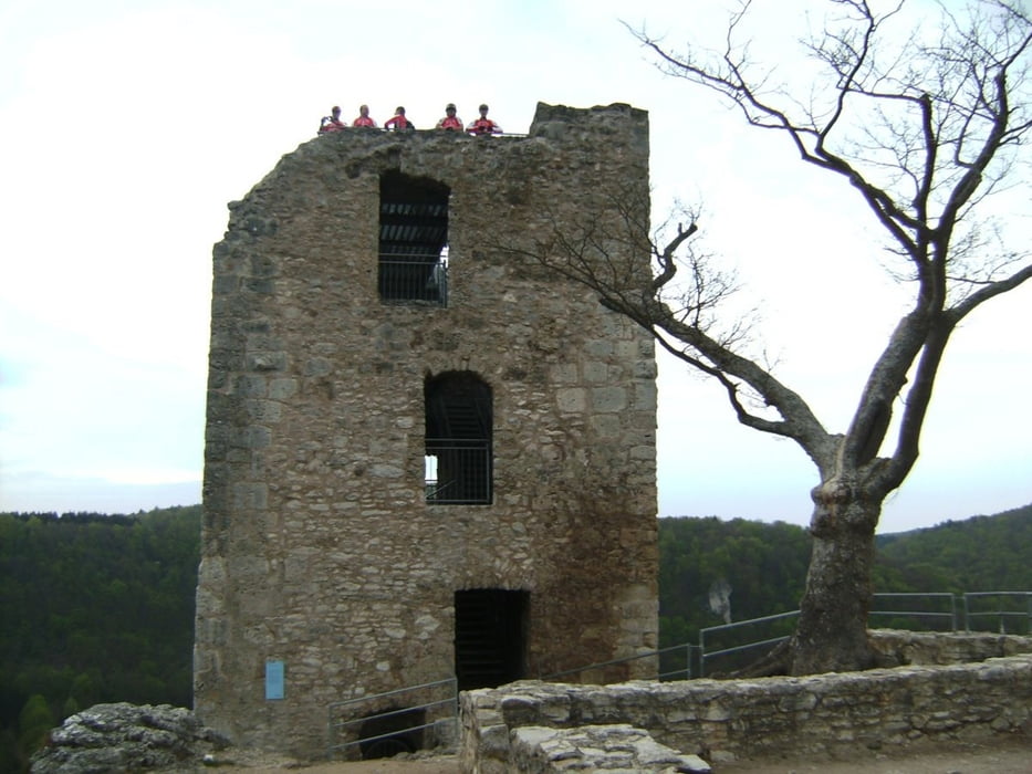
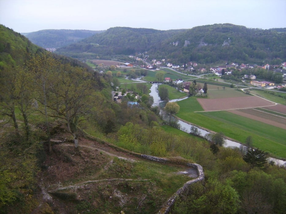
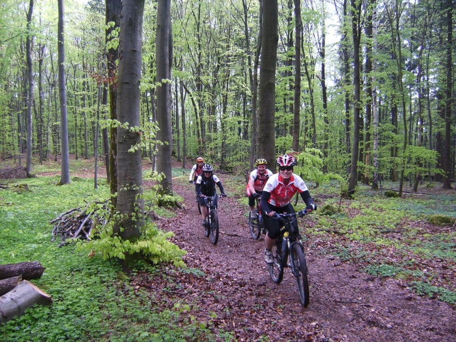
Wir fuhren zuerst auf einer Teerstraße nach Moggast, dann weiter nach Kanndorf (wenig befahrene Staatsstr.). Ab Birkenreuth im MTB-Gelände weiter zum Osterbrunnen (siehe Foto) und zur Ruine Neideck über dem Wiesenttal. Rückfahrt auf zuerst etwas anderem Weg, dann die gleichen Straßen im letzten Licht zurück nach Morschreuth.
Nach GPS: 1.10 Std., 16,5 km, 350 Hm. Insgesamt eine leichte Einfahrroute
Further information at
http://www.gute-einkehr.de/galéria trás
Mapa trasy a výškový profil
Minimum height 379 m
Maximum height 512 m
More about the tour author
|
|
herzi |
komentáre

Morschreut ist am besten über die BAB-Ausfahrten Forchheim oder Pegnitz und dann über das Wiesenttal entweder über Prezfeld – Wannbach oder über Pottenstein Gößweinstein zu erreichen.
GPS trasy
Trackpoints-
GPX / Garmin Map Source (gpx) download
-
TCX / Garmin Training Center® (tcx) download
-
CRS / Garmin Training Center® (crs) download
-
Google Earth (kml) download
-
G7ToWin (g7t) download
-
TTQV (trk) download
-
Overlay (ovl) download
-
Fugawi (txt) download
-
Kompass (DAV) Track (tk) download
-
list trasy (pdf) download
-
Original file of the author (gpx) download
More about the tour author
|
|
herzi |
Add to my favorites
Remove from my favorites
Edit tags
Open track
My score
Rate