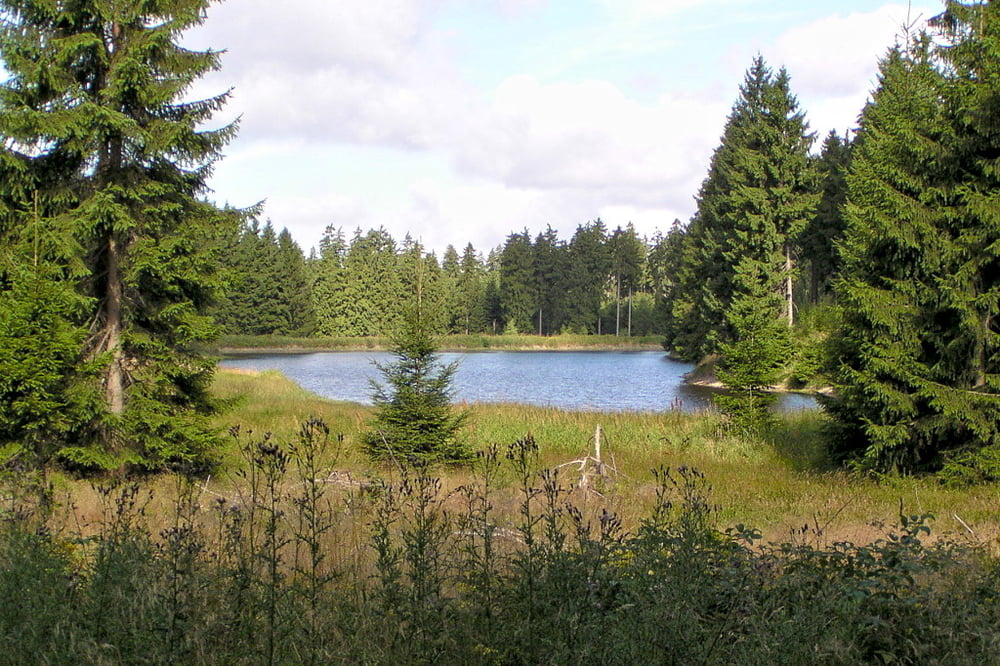
Von Clausthal-Zellerfeld auf dem "Roten Handschuh" zum Sperberhaier Damm. Durch das Sösetal vorbei am Sösewehr hinauf auf den Acker. Auf der Gegenseite hinab ins Siebertal. Hinauf zum Internationalen Haus Sonnenberg. Entlang des Rehberger Grabens oberhalb des Odertals zum Oderteich. Weiter nach Torfhaus. Hinunter ins Okertal zum Okerstausee. Durch Altenau zum Polsterberger Hubhaus und zurück nach Clausthal-Zellerfeld.
Further information at
http://www.dieboehmes.degaléria trás
Mapa trasy a výškový profil
Minimum height 425 m
Maximum height 827 m
komentáre

GPS trasy
Trackpoints-
GPX / Garmin Map Source (gpx) download
-
TCX / Garmin Training Center® (tcx) download
-
CRS / Garmin Training Center® (crs) download
-
Google Earth (kml) download
-
G7ToWin (g7t) download
-
TTQV (trk) download
-
Overlay (ovl) download
-
Fugawi (txt) download
-
Kompass (DAV) Track (tk) download
-
list trasy (pdf) download
-
Original file of the author (gpx) download
Add to my favorites
Remove from my favorites
Edit tags
Open track
My score
Rate


