Login

Zabudli ste prihlasovacia meno

Cookies have to be accepted!
Your browser's cookie functionality is disabled. Please enable this functionality.

Not a member yet?

Register now
Login

Available for registred users only

Log in to use this feature.

Zabudli ste prihlasovacia meno

Cookies have to be accepted!
Your browser's cookie functionality is disabled. Please enable this functionality.

Not a member yet?

Register now
Filter
Kategórie
Advanced filters
  • Dĺžka (km)
  • výškomer
Uložiť filter Reset filter

TrackRank

QRCode

Technical data

Dĺžka22,5 km výškomer618 m Way down618 m Doba02:00 h:m dátum04.10.2006
ohodnotenia Author Kraj pôžitok z túry kondícia technika

štatistika

1045 náhľady ohodnotenia 166 Stiahnutia priemer
Rate
  • list trasy
  • príjazd
  • Stiahnutia
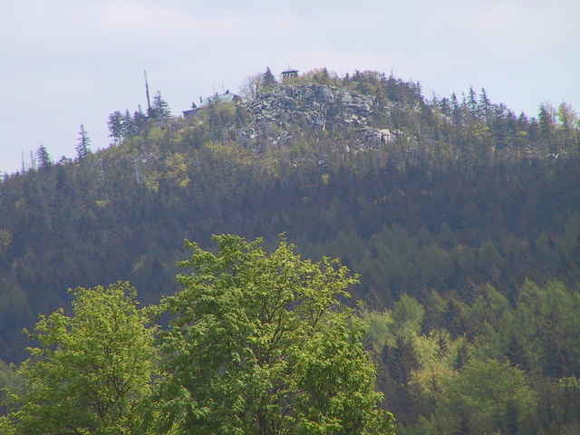
schöne feierabendtour mit weiten Aussichtsmöhglichkeiten. der anfängliche STrassenanteil entstand durch einen heftigen Regenschauer, das kann man auch unproblematisch auf trails verlegen.

galéria trás

Mapa trasy a výškový profil

  • Open Street Map
  • Google
Minimum height 580 m Maximum height 927 m Detailný pohľad

More about the tour author

Bachforelle
Member since 2006

Send private message

komentáre

grosser Parkplatz in Nagel beim Friedhof.

GPS trasy

Trackpoints
  • GPX / Garmin Map Source (gpx) download
  • TCX / Garmin Training Center® (tcx) download
  • CRS / Garmin Training Center® (crs) download
  • Google Earth (kml) download
  • G7ToWin (g7t) download
  • TTQV (trk) download
  • Overlay (ovl) download
  • Fugawi (txt) download
  • Kompass (DAV) Track (tk) download
  • list trasy (pdf) download
  • Original file of the author (gpx) download

More about the tour author

Bachforelle
Member since 2006

Send private message
Share track
Add to my favorites
Remove from my favorites
Edit tags
My score
Rate
trasa: Hohe Mätze Kösseine
Druh: horský bicykel
Dĺžka: 22,5 km
Evaluated on:
Doba:
Day(s)
Hour(s)
Minute(s)
ohodnotenie: Kraj pôžitok z túry kondícia technika