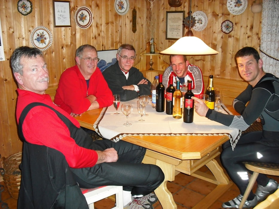
Hallo Elle!
Hier zum Geburtstag deine persönliche Bikerunde um Höheinöd!
Version "light": Zum Feierabend locker in 1,5 - 2 Stunden zu schaffen - mit zwei Asphaltanstiegen und einem wunderschönen Singletrail nach Waldfischbach!
Viel Spaß wünscht das Team Leuwerik!
Further information at
http://www.beckenhof.deMapa trasy a výškový profil
Minimum height 255 m
Maximum height 437 m
komentáre

A62 Abfahrt Höheinöd.
Bahnhof Waldfischbach-Burgalben, dann Richtung Hermersberg auf den Track.
GPS trasy
Trackpoints-
GPX / Garmin Map Source (gpx) download
-
TCX / Garmin Training Center® (tcx) download
-
CRS / Garmin Training Center® (crs) download
-
Google Earth (kml) download
-
G7ToWin (g7t) download
-
TTQV (trk) download
-
Overlay (ovl) download
-
Fugawi (txt) download
-
Kompass (DAV) Track (tk) download
-
list trasy (pdf) download
-
Original file of the author (gpx) download
Add to my favorites
Remove from my favorites
Edit tags
Open track
My score
Rate

