


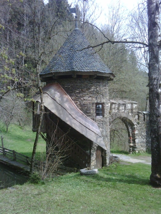
Vom Schloß Frauenstein beginnt eine schöne Wanderung entlang von mehreren Teichen, besoders im Frühling und Herbst empfehlenswert! Keine anspruchsvolle Tour, einfach eine gemütliche Wanderung. Ein Abstecher zur Ruine Hochkraig ,nach ca. einem Kilometer links,lohnt sich, aber etwas anspruchsvoller!
Nach einem kurzen Aufstieg auf den Kulm sieht man östlich bis auf den Magdalensberg und die Burg Hochosterwitz. Dann gehts wieder hinunter nach Grassen und zurück zum Schloß
galéria trás


Mapa trasy a výškový profil
Minimum height 645 m
Maximum height 759 m
More about the tour author

|
grauhaariger |
komentáre

Von St.Veit nördlich Richtung Obermühlbach
GPS trasy
Trackpoints-
GPX / Garmin Map Source (gpx) download
-
TCX / Garmin Training Center® (tcx) download
-
CRS / Garmin Training Center® (crs) download
-
Google Earth (kml) download
-
G7ToWin (g7t) download
-
TTQV (trk) download
-
Overlay (ovl) download
-
Fugawi (txt) download
-
Kompass (DAV) Track (tk) download
-
list trasy (pdf) download
-
Original file of the author (gpx) download
More about the tour author
|
|
grauhaariger |
Add to my favorites
Remove from my favorites
Edit tags
Open track
My score
Rate