


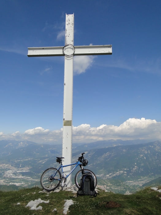
Gestartet bin ich in Bolognano, von da rauf auf den Monte Velo und auf derr Rückseite wieder runter. Die Tour bin ich wenn man es auf der "Landkarte sieht in Uhrzeigerrichtung gefahren. Rauf auf den Monte Altissimo ging es das letzte Stück das eben auch nicht asphaltiert und steil ist sehr schwer. Auf der Rückseite mit der fast 2000HM Abfahrt bis nach Torbole ging es erst ein kleines Stück sehr schwer und dann wieder ganz leicht und asphaltiert. Auf der gesamten Abfahrt muss obacht gegeben werden weil sich Steine in verschiedenen Größen auf dem Asphalt befinden.
galéria trás


Mapa trasy a výškový profil
Minimum height 89 m
Maximum height 2076 m
More about the tour author
|
|
4ty |
komentáre

GPS trasy
Trackpoints-
GPX / Garmin Map Source (gpx) download
-
TCX / Garmin Training Center® (tcx) download
-
CRS / Garmin Training Center® (crs) download
-
Google Earth (kml) download
-
G7ToWin (g7t) download
-
TTQV (trk) download
-
Overlay (ovl) download
-
Fugawi (txt) download
-
Kompass (DAV) Track (tk) download
-
list trasy (pdf) download
-
Original file of the author (gpx) download
More about the tour author
|
|
4ty |
Add to my favorites
Remove from my favorites
Edit tags
Open track
My score
Rate