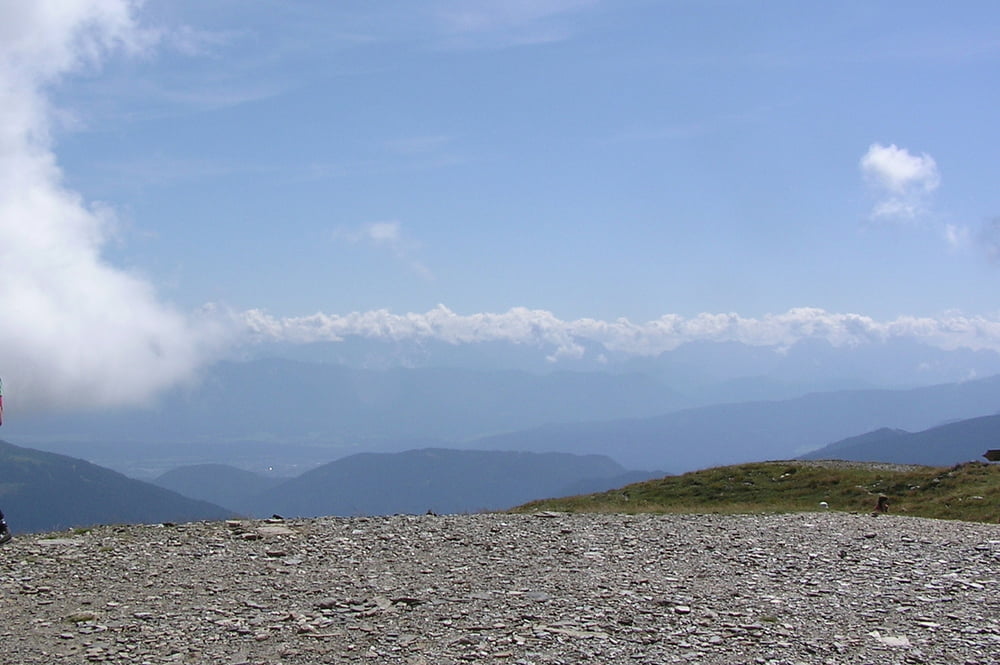
Landschaftlich schöne Tour auf den Wöllaner Nock.
Start ist in Feld am See (Kirchplatz). Von dort geht es über Obertweng in Richtung Bad Kleinkirchheim. Am Anfang noch Teestraße (fast kein Autoverkehr), zum Schluß vor Kirchheim noch einige Trailstücke und Forstwege. Ab Kleinkirchheim gehts dann Richtung Kaiserburg auf gut ausgebauten Forstwegen mit mäßiger Steigung ( ca. 8 - 12%) bergauf. Von der Kaiserburg sind es dann nur noch 100 HM zum Gipfelkreuz. Ist mir auch noch nie passiert, das ich ohne absteigen bis vor das Gipfelkreuz fahren konnte. Hier oben hat man einen super Ausblick in alle 4 Himmelsrichtungen. Der Rückweg ist bis ca 1,7 km nach Kaiserburg der selbe, dann abbiegen in einen Trail Richtung Rossalmhütte, Strohsack. Bei der Liftstation Strohsack eine etwas steile Skiabfahrt runterbrettern bis zur Maibrunnhütte. Über ein Weidegatter kommt man dann über eine kleine Wiesenabfahrt auf einen Forstweg, der über die Feldpannalpe nach Feld am See führt. Vieleicht Badehose einpacken,man kommt direkt am Brennsee vorbei.
Einkehrmöglichkeiten: Kaiserburg, Weger-Hütte(Feldpannalpe)
galéria trás
Mapa trasy a výškový profil
komentáre

Feld am See liegt zwischen Ossiacher See und Millstättersee.
Anfahrt am beste über Tauernautobahn.
GPS trasy
Trackpoints-
GPX / Garmin Map Source (gpx) download
-
TCX / Garmin Training Center® (tcx) download
-
CRS / Garmin Training Center® (crs) download
-
Google Earth (kml) download
-
G7ToWin (g7t) download
-
TTQV (trk) download
-
Overlay (ovl) download
-
Fugawi (txt) download
-
Kompass (DAV) Track (tk) download
-
list trasy (pdf) download
-
Original file of the author (gpx) download

