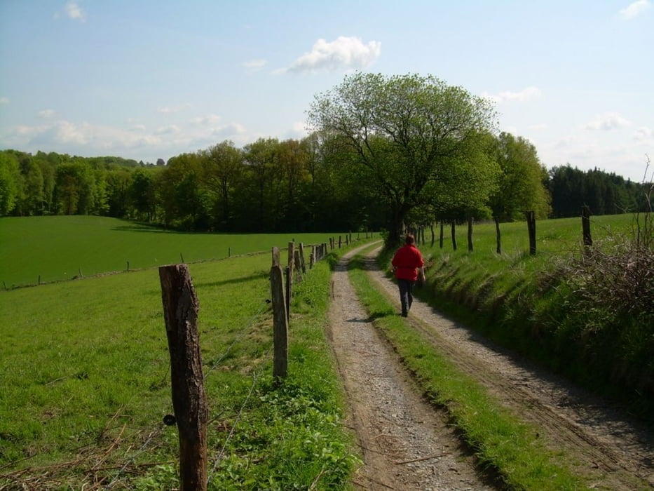
Nette Runde durch die sehr schöne Landschaft des Bergischen Landes.Die Runde ist angelehnt an den Rundwanderweg A1 und fürt fast ausschließlich über mehr oder weniger schmale Waldwege und Pfade. An einigen Stellen gibt es tolle Ausblicke.
Further information at
http://www.teneriffatouren.comgaléria trás
Mapa trasy a výškový profil
Minimum height 113 m
Maximum height 299 m
komentáre

Auto Navi: Kreckersweg 1a, 42929 Wermelskirchen
GPS trasy
Trackpoints-
GPX / Garmin Map Source (gpx) download
-
TCX / Garmin Training Center® (tcx) download
-
CRS / Garmin Training Center® (crs) download
-
Google Earth (kml) download
-
G7ToWin (g7t) download
-
TTQV (trk) download
-
Overlay (ovl) download
-
Fugawi (txt) download
-
Kompass (DAV) Track (tk) download
-
list trasy (pdf) download
-
Original file of the author (gpx) download
Add to my favorites
Remove from my favorites
Edit tags
Open track
My score
Rate


