Login

Zabudli ste prihlasovacia meno

Cookies have to be accepted!
Your browser's cookie functionality is disabled. Please enable this functionality.

Not a member yet?

Register now
Login

Available for registred users only

Log in to use this feature.

Zabudli ste prihlasovacia meno

Cookies have to be accepted!
Your browser's cookie functionality is disabled. Please enable this functionality.

Not a member yet?

Register now
Filter
Kategórie
Advanced filters
  • Dĺžka (km)
  • výškomer
Uložiť filter Reset filter

TrackRank

QRCode

Technical data

Dĺžka10,8 km výškomer64 m Way down64 m Doba03:00 h:m dátum24.05.2010
ohodnotenia Author Kraj pôžitok z túry kondícia technika

štatistika

406 náhľady ohodnotenia 72 Stiahnutia priemer
Rate
  • list trasy
  • príjazd
  • Stiahnutia

Die Runde beginn direkt bei der Autobahnabfahrt Stockerau Ost.

Vorsicht bei Hochwasser sind einige Wasserläufe nicht passierbar.


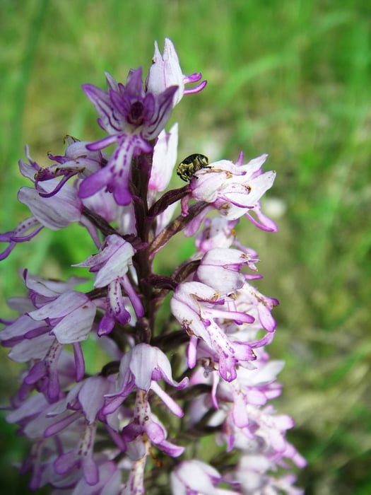
Alle Fotos siehe "Weitere Informationen:"

Further information at

https://skydrive.live.com/?cid=dff63ce9c39979fe&sc=photos&ct=photos&id=DFF63CE9C39979FE%211712

galéria trás

Mapa trasy a výškový profil

  • Open Street Map
  • Google
Minimum height 165 m Maximum height 181 m Detailný pohľad

More about the tour author

Herbiy
Member since 2009

Send private message

komentáre

GPS trasy

Trackpoints
  • GPX / Garmin Map Source (gpx) download
  • TCX / Garmin Training Center® (tcx) download
  • CRS / Garmin Training Center® (crs) download
  • Google Earth (kml) download
  • G7ToWin (g7t) download
  • TTQV (trk) download
  • Overlay (ovl) download
  • Fugawi (txt) download
  • Kompass (DAV) Track (tk) download
  • list trasy (pdf) download
  • Original file of the author (gpx) download

More about the tour author

Herbiy
Member since 2009

Send private message
Share track
Add to my favorites
Remove from my favorites
Edit tags
My score
Rate
trasa: Donauau
Druh: trasa
Dĺžka: 10,8 km
Evaluated on:
Doba:
Day(s)
Hour(s)
Minute(s)
ohodnotenie: Kraj pôžitok z túry kondícia technika