

Von Sierning über Schwamming und Tiensting nach Garsten. Anstieg nach Oberdambach Sonnseite, weiter bis in die Laussa. Von dort nach Losenstein und am Radweg nach Ternberg. Weiter Richtung Steinbach/Steyr. Letzter Anstieg zur Hochhub. Abfahrt nach Aschach und zurück nach Sierning
Mapa trasy a výškový profil
Minimum height 302 m
Maximum height 723 m
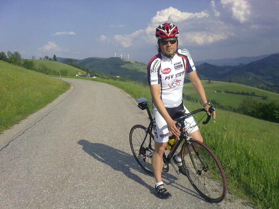
More about the tour author

|
f_bergi |
komentáre

GPS trasy
Trackpoints-
GPX / Garmin Map Source (gpx) download
-
TCX / Garmin Training Center® (tcx) download
-
CRS / Garmin Training Center® (crs) download
-
Google Earth (kml) download
-
G7ToWin (g7t) download
-
TTQV (trk) download
-
Overlay (ovl) download
-
Fugawi (txt) download
-
Kompass (DAV) Track (tk) download
-
list trasy (pdf) download
-
Original file of the author (gpx) download
More about the tour author
|
|
f_bergi |
Add to my favorites
Remove from my favorites
Edit tags
Open track
My score
Rate