Login

Zabudli ste prihlasovacia meno

Cookies have to be accepted!
Your browser's cookie functionality is disabled. Please enable this functionality.

Not a member yet?

Register now
Login

Available for registred users only

Log in to use this feature.

Zabudli ste prihlasovacia meno

Cookies have to be accepted!
Your browser's cookie functionality is disabled. Please enable this functionality.

Not a member yet?

Register now
Filter
Kategórie
Advanced filters
  • Dĺžka (km)
  • výškomer
Uložiť filter Reset filter

TrackRank

QRCode

Technical data

Dĺžka55,5 km výškomer854 m Way down846 m Doba03:25 h:m dátum02.06.2010
ohodnotenia Author Kraj pôžitok z túry kondícia technika

štatistika

360 náhľady ohodnotenia 55 Stiahnutia priemer
Rate
  • list trasy
  • príjazd
  • Stiahnutia

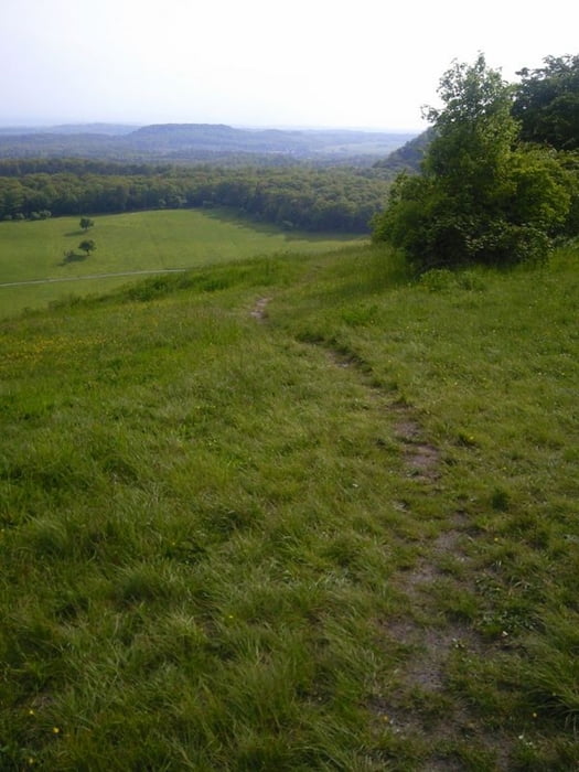
Die Tour geht fast nur über Schotterwege. Gerade in der Regenzeit ist diese Tour zu empfehlen. Sie ist in beiden Richtungen fahrbar. Gestartet wird in Zaisersweiher, es geht zunächst in Richtung Norden. Ca. 200 Meter nach dem Ortsschild, nach den Fischteich rechte Seite den Forstweg lang. Dort beginnt auch die Aufzeichnung (start)

galéria trás

Mapa trasy a výškový profil

  • Open Street Map
  • Google
Minimum height 300 m Maximum height 520 m Detailný pohľad

More about the tour author

siggi.k.
Member since 2004

Send private message

komentáre

Zaisersweiher sollt füe alle MTB'ler gut zu finden sein. Geparkt wird an der Festhalle.

GPS trasy

Trackpoints
  • GPX / Garmin Map Source (gpx) download
  • TCX / Garmin Training Center® (tcx) download
  • CRS / Garmin Training Center® (crs) download
  • Google Earth (kml) download
  • G7ToWin (g7t) download
  • TTQV (trk) download
  • Overlay (ovl) download
  • Fugawi (txt) download
  • Kompass (DAV) Track (tk) download
  • list trasy (pdf) download
  • Original file of the author (tcx) download

More about the tour author

siggi.k.
Member since 2004

Send private message
Share track
Add to my favorites
Remove from my favorites
Edit tags
My score
Rate
trasa: Strombertour in der Regenzeit
Druh: horský bicykel
Dĺžka: 55,5 km
Evaluated on:
Doba:
Day(s)
Hour(s)
Minute(s)
ohodnotenie: Kraj pôžitok z túry kondícia technika