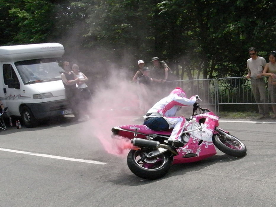
Fahrt über die Schwäbische Alb zum ADAC-Bikertreffen bei Leonberg und zurück
galéria trás
Mapa trasy a výškový profil
Minimum height 232 m
Maximum height 876 m
komentáre

die Schwäbische Alb ist landschaftlich gesehen sehr reizvoll. Die Tour ist auch mim Radl gut zu machen, allerdings ist da Kondtion gefragt.
Das Bikertreffen ist Rummel pur. Infostände, Vorführungen, Fressbuden...
Nach ner Stude hatte ich die Schnauze voll...
und da sich die ersten schwarzen Wolken zeigten, gings ab Richtung Heimat
GPS trasy
Trackpoints-
GPX / Garmin Map Source (gpx) download
-
TCX / Garmin Training Center® (tcx) download
-
CRS / Garmin Training Center® (crs) download
-
Google Earth (kml) download
-
G7ToWin (g7t) download
-
TTQV (trk) download
-
Overlay (ovl) download
-
Fugawi (txt) download
-
Kompass (DAV) Track (tk) download
-
list trasy (pdf) download
-
Original file of the author (gpx) download
Add to my favorites
Remove from my favorites
Edit tags
Open track
My score
Rate

