


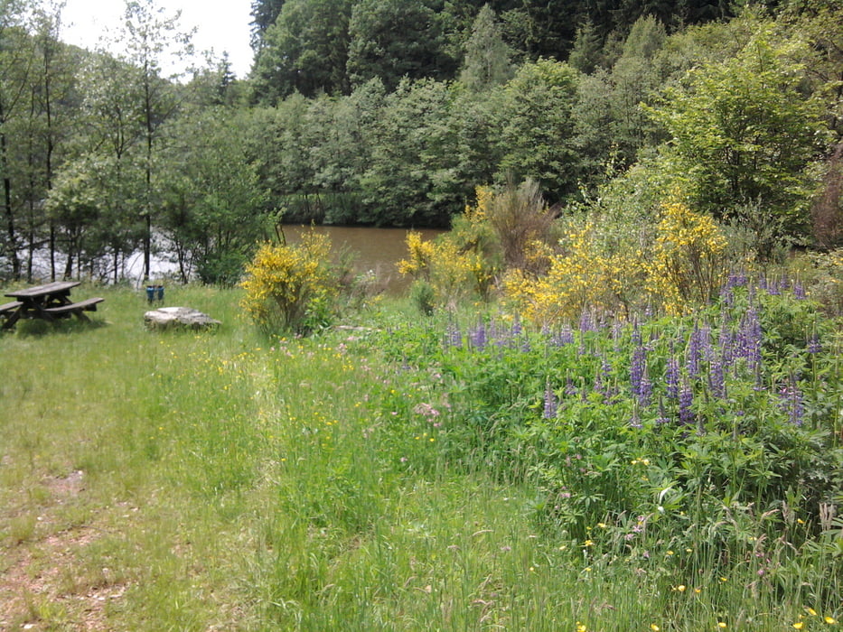
Wir parkten unsere Autos zwischen Hermeskeil und Züsch kurz vor der Prims-Brücke. Der Parkplatz ist leider nicht als Wanderparkplatz ausgewiesen. Von dort ging es auf einem schattigen Weg die Prims entlang. Bald erreichten wir die Vorsperre Altbachtal. Viele Schutzhütten und Bänke entlang des Weges laden zum Verweilen ein. Die Ausblicke auf den Stausee sind zum Genießen. Nach ca. 10 km erreichten wir den Kiosk an der Talsperre Nonnweiler. Wir ließen uns Kaffee und Kuchen schmecken. Der ebene feinschottrige breite Talsperrenweg wurde auf die Dauer etwas langweilig. Die Sonne schien jetzt auch recht intensiv und wir freuten uns, wenn es jetzt einmal schattig auf dem Uferweg wurde. Der Blick auf den See und die Informationen auf dem Planetenweg waren dann doch eine Entschädigung. Ich denke, wenn man nur am See bleibt und vielleicht vom Kiosk startet, kann man auch alles mit Rollstuhl oder Kinderwagen meistern.
galéria trás


Mapa trasy a výškový profil
Minimum height 451 m
Maximum height 535 m
More about the tour author

|
hase54295 |
komentáre

Kiosk an der TALSPERRE
66620 NONNWEILER
MOBIL: 01778215762 Telefon: 0687393
Parkplatz Hunnenring bei Otzenhausen an der L147 ( N49 36.957 E6 59.759 )
GPS trasy
Trackpoints-
GPX / Garmin Map Source (gpx) download
-
TCX / Garmin Training Center® (tcx) download
-
CRS / Garmin Training Center® (crs) download
-
Google Earth (kml) download
-
G7ToWin (g7t) download
-
TTQV (trk) download
-
Overlay (ovl) download
-
Fugawi (txt) download
-
Kompass (DAV) Track (tk) download
-
list trasy (pdf) download
-
Original file of the author (gpx) download
More about the tour author
|
|
hase54295 |
Add to my favorites
Remove from my favorites
Edit tags
Open track
My score
Rate