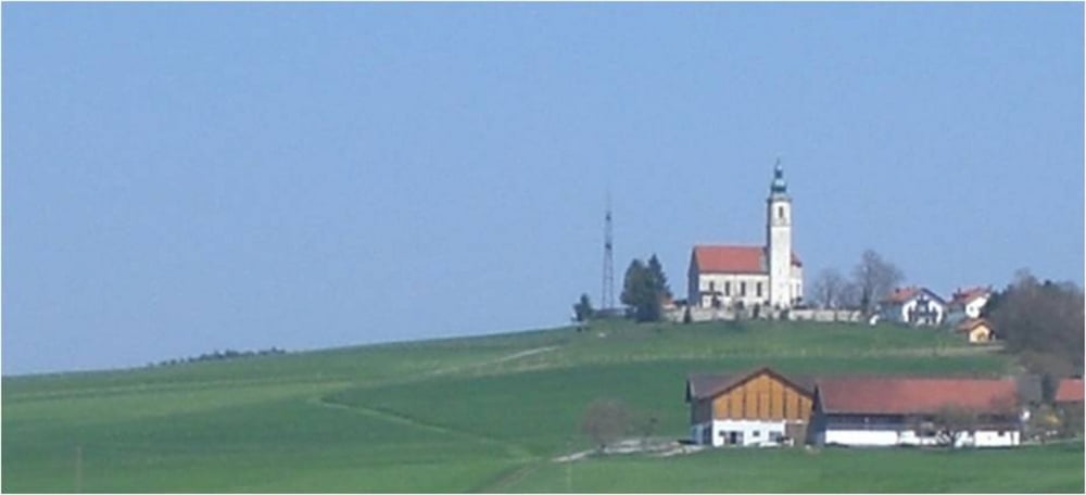
Schöne abwechslungsreiche kurze Runde im Osten von München
Ausgangspunkt ist die Kirche von Alxing.
Tourenverlauf:
Durch das Brucker Moos geht's am Gut Hermannsdorf vorbei über Sonnenhausen nach Glonn.
Weiter an einem Bach entlang nach Spielberg und über Schlacht zum Steinsee. Von dort zurück zum Ausgangspunkt.
Mapa trasy a výškový profil
Minimum height 498 m
Maximum height 628 m
komentáre
GPS trasy
Trackpoints-
GPX / Garmin Map Source (gpx) download
-
TCX / Garmin Training Center® (tcx) download
-
CRS / Garmin Training Center® (crs) download
-
Google Earth (kml) download
-
G7ToWin (g7t) download
-
TTQV (trk) download
-
Overlay (ovl) download
-
Fugawi (txt) download
-
Kompass (DAV) Track (tk) download
-
list trasy (pdf) download
-
Original file of the author (tcx) download
Add to my favorites
Remove from my favorites
Edit tags
Open track
My score
Rate


bin ich heute gefahren
Feierabendrunde
Ganz nett
Es gibt hier deutlich bessere Touren für diese Gegend.
Super Runde, wenn man (wie wir) keine Trails bevor