
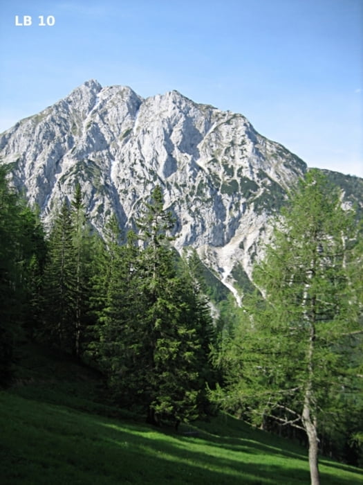

Die MTB - Tour in Oberösterreich zwischen Spital am Pyhrn und Rosenau am Hengstpaß ist mittelschwer und bietet einige gute Aussichtspunkte ins Garstnertal, Totes Gebirge und Nationalpark Kalkalpen. Die offizielle und sehr gut beschilderte Tour hat keine steilen und technisch anspruchsvollen Forstwege. Eine sehr schöne MTB - Tour die für alle geeignet ist. Die Garstnertaler Höhenrunde lässt sich für konditionsstarke Mountainbiker auch leicht mit der MTB - Tour Windischgarsten Langfirst verbinden.
Weitere Infos, Fotos und Video findest du auf
biketours4you.at
Mapa trasy a výškový profil
Minimum height 644 m
Maximum height 1309 m
More about the tour author
|
|
Trek1400d |
komentáre

GPS trasy
Trackpoints-
GPX / Garmin Map Source (gpx) download
-
TCX / Garmin Training Center® (tcx) download
-
CRS / Garmin Training Center® (crs) download
-
Google Earth (kml) download
-
G7ToWin (g7t) download
-
TTQV (trk) download
-
Overlay (ovl) download
-
Fugawi (txt) download
-
Kompass (DAV) Track (tk) download
-
list trasy (pdf) download
-
Original file of the author (gpx) download
More about the tour author
|
|
Trek1400d |
Add to my favorites
Remove from my favorites
Edit tags
Open track
My score
Rate