Login

Zabudli ste prihlasovacia meno

Cookies have to be accepted!
Your browser's cookie functionality is disabled. Please enable this functionality.

Not a member yet?

Register now
Login

Available for registred users only

Log in to use this feature.

Zabudli ste prihlasovacia meno

Cookies have to be accepted!
Your browser's cookie functionality is disabled. Please enable this functionality.

Not a member yet?

Register now
Filter
Kategórie
Advanced filters
  • Dĺžka (km)
  • výškomer
Uložiť filter Reset filter

TrackRank

QRCode

Technical data

Dĺžka8,0 km výškomer343 m Way down297 m Doba02:30 h:m dátum12.06.2010
ohodnotenia Author User Kraj pôžitok z túry kondícia technika

štatistika

651 náhľady 1 ohodnotenie 96 Stiahnutia 5.00 priemer
Rate
  • list trasy
  • príjazd
  • Stiahnutia

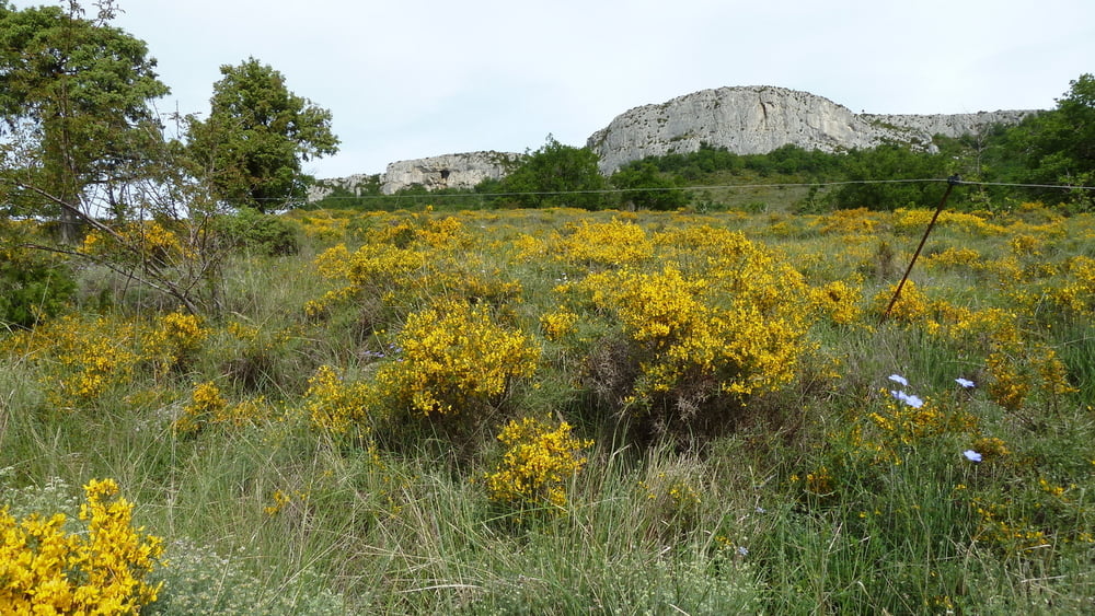
Nicht allzu schwierige Rund-Wanderung auf den Dent de Rez, lediglich an einer Stelle muss etwas geklettert werden. Die Kletterstelle ist auch für "Normalwanderer" zu schaffen.

Nach dem Aufstieg wunderschöner Blick ins Rhonetal und bis zum Mont Ventoux in der Provence.


Mapa trasy a výškový profil

  • Open Street Map
  • Google
Minimum height 399 m Maximum height 719 m Detailný pohľad

More about the tour author

123Vista
Member since 2009

Send private message

komentáre

Über die Autobahn Lyon- Marseille, Abfahrt Montelimar-Süd. Über Bourg St. Andeol nach St. Remeze. Im Ort rechts ab auf die D362. Nach ca. 3 km links in eine kleinen Weg.

GPS trasy

Trackpoints
  • GPX / Garmin Map Source (gpx) download
  • TCX / Garmin Training Center® (tcx) download
  • CRS / Garmin Training Center® (crs) download
  • Google Earth (kml) download
  • G7ToWin (g7t) download
  • TTQV (trk) download
  • Overlay (ovl) download
  • Fugawi (txt) download
  • Kompass (DAV) Track (tk) download
  • list trasy (pdf) download
  • Original file of the author (gpx) download

More about the tour author

123Vista
Member since 2009

Send private message
Share track
Add to my favorites
Remove from my favorites
Edit tags
My score
Rate
trasa: Zum Dent de Rez
Druh: trasa
Dĺžka: 8,0 km
Evaluated on:
Doba:
Day(s)
Hour(s)
Minute(s)
ohodnotenie: Kraj pôžitok z túry kondícia technika